The High Performance Wireless Research and Education Network (HPWREN), a University of California San Diego partnership project led by the San Diego Supercomputer Center and the Scripps Institution of Oceanography's Institute of Geophysics and Planetary Physics, supports Internet-data applications in the research, education, and public safety realms.


HPWREN functions as a collaborative, Internet-connected cyberinfrastructure. The project supports a high-bandwidth wireless backbone and access data network in San Diego, Riverside, and Imperial counties in areas that are typically not well-served by other technologies to reach the Internet. This includes backbone locations, typically sited on mountain tops, to connect often hard-to-reach areas in the remote Southern California back country.

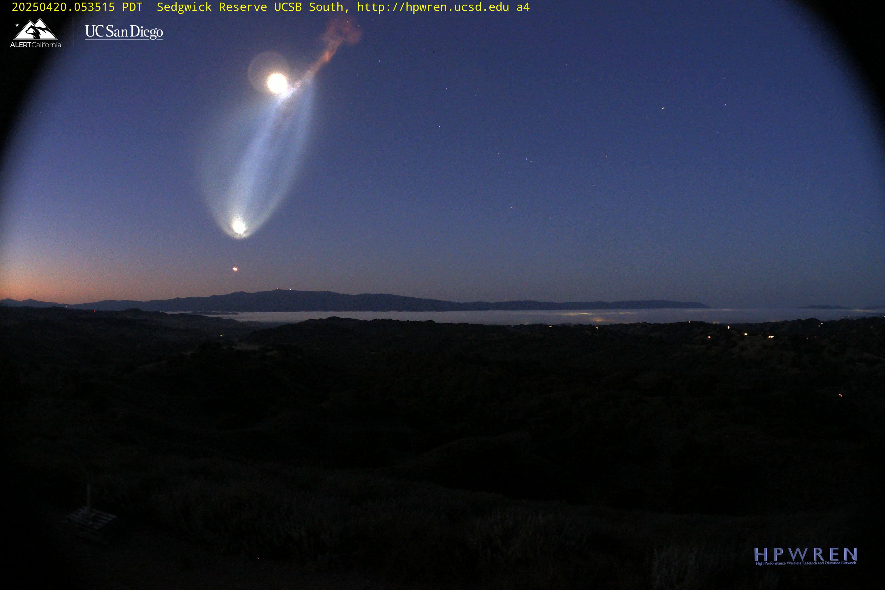
Recent Image

Jim Davidson is standing next to the old UCI dish that connected to Santiago Peak from the roof of the Calit2 building at UCI. The airport fire allowed us to upgrade that link with a new radio and antenna.


A Multi-Wavelength Approach to Wildfire and Air Quality Monitoring


15 September 2025

The Rincon Fire Experiment: Using wide-area hyperspectral imaging at Birch Hill for the rapid identification and analysis of small events.


HPWREN Time Lapse or

Live Stream Videos

Fires, weather conditions, flooding, and other public safety conditions are scenarios where real-time sensor data distributions can become important aspects for situational awareness. HPWREN can now provide live feeds from most of its cameras, in addition to the post-processed videos shown at:

https://www.youtube.com/user/hpwren/videos


Recent video

20250512 Toro Peak at 15fps

Cloud formations around Toro Peak - mid-May 2025