|
|
May 13, 2008
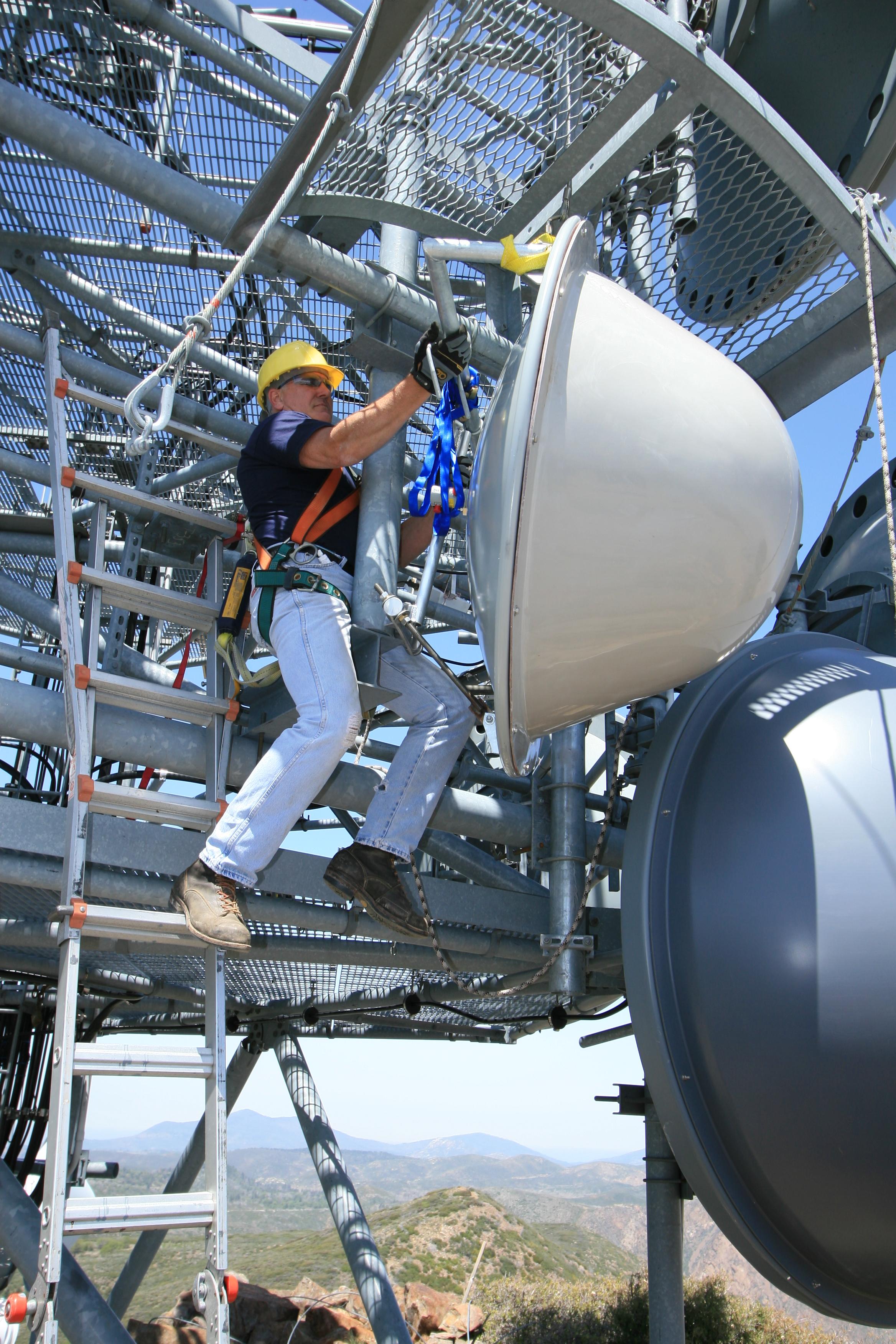
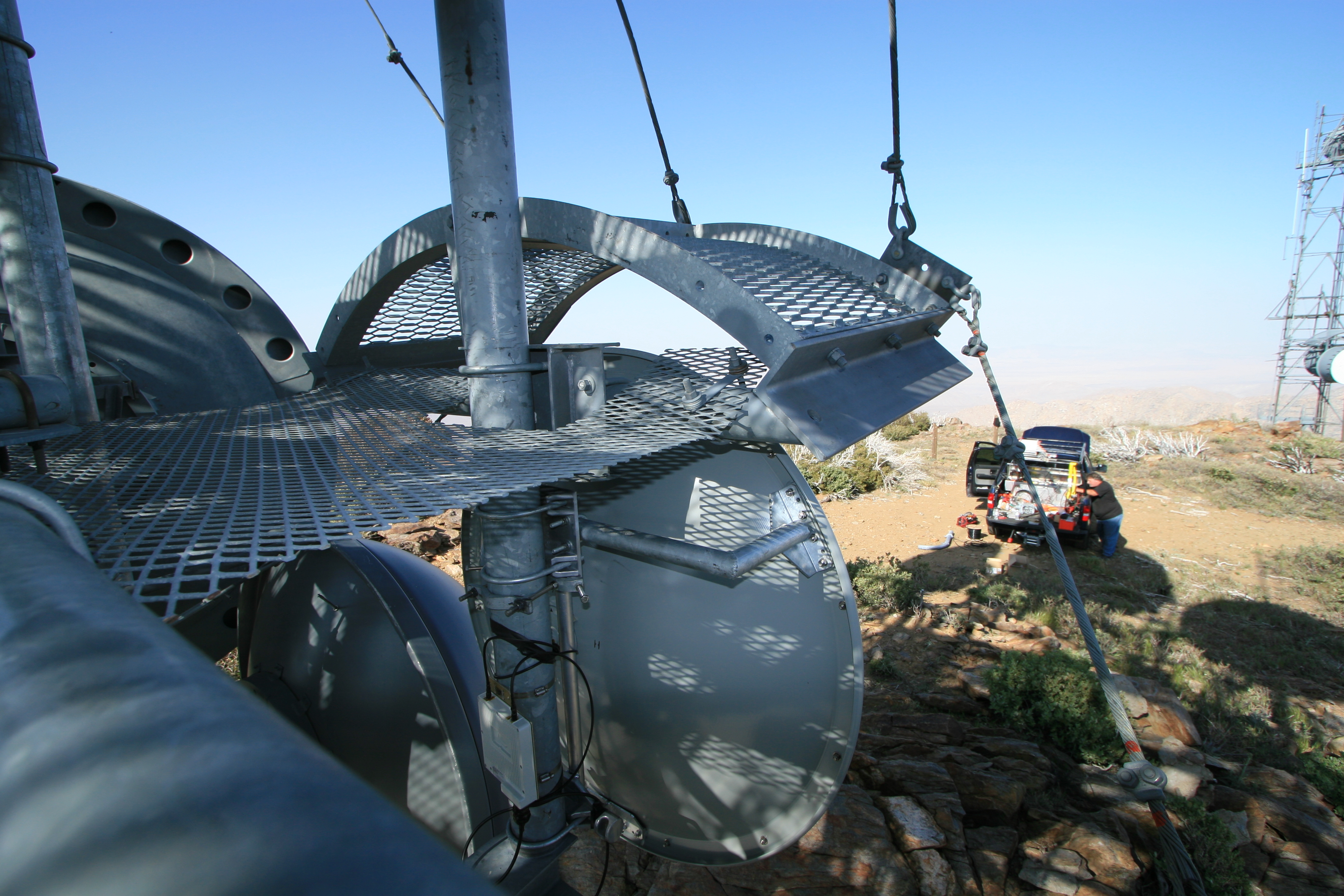
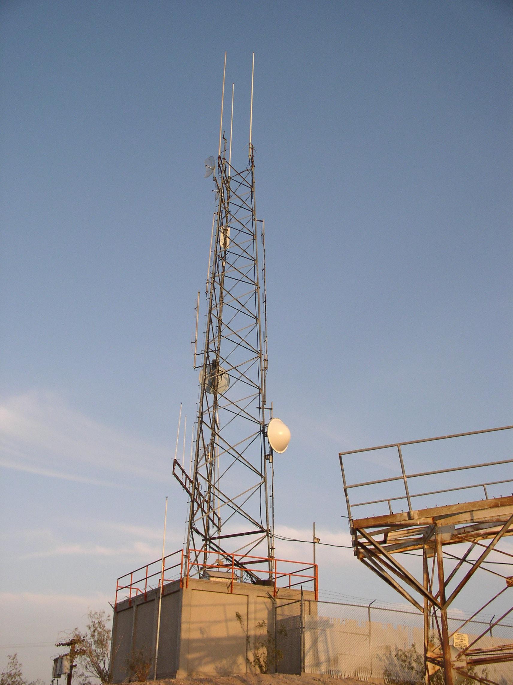
Upgrade of the HPWREN/RoadNet capabilities between Mount Laguna and Superstition Mountain across the Anza Borrego Desert Synopsis by D. Glen Offield, UCSD-SIO-IGPP On May 8, 2008, the HPWREN/RoadNet segment between Mount Laguna (ML) and Superstition Mountain (SM), which extends the HPWREN backbone east of Mount Laguna, was upgraded to accommodate additional capacity at a different radio frequency. Although ML is fairly well known, SM is a small mountain at 39 meter elevation located on the Navy Air Facility at El Centro, CA. With shared funding contributions from Drs. Yehuda Bock (UCSD-SIO-IGPP GPS), Frank Wyatt (UCSD-SIO-IGPP Strain Meters) and Jamie Steidl (UCSB Seismic), the enhanced telemetry link between ML and SM was realized. Hans-Werner Braun (HPWREN) contributed the labor (Mike Datte and Jim Hale) and participated with his team's installation at ML. The reciprocal upgrade was performed simultaneously at SM by IGPP's GPS/RoadNet personnel. The service interruption during the upgrade lasted only about 11 hours. This upgrade removed the original 2.4 GHz unlicensed point-to-point telemetry link, which had been offering a maximum of 8 Mbps throughput. In its place, a 5.8 GHz unlicensed link supporting communications in its 54 Mbps mode with FEC (forward error correction) was installed.
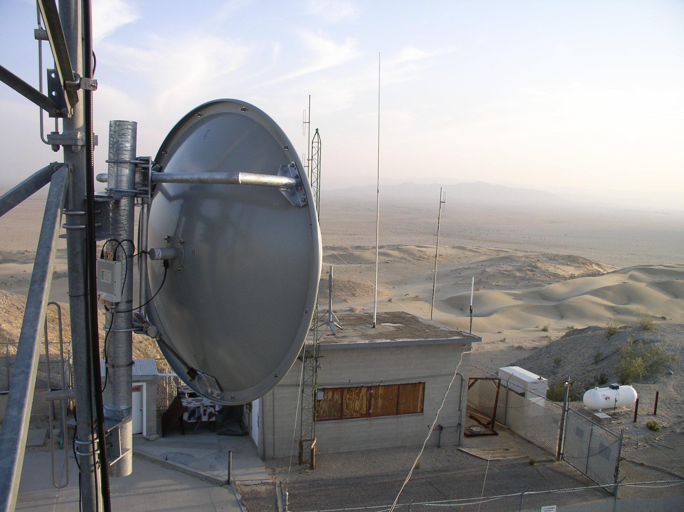
This change was necessary due to the recent growth of traffic served via SM, including from many recently added stations. Those real time telemetric stations are a mix of GPS, strain meters and seismic recorders. At present, a network total of 17 remote stations are served via three separate point-to-multipoint 2.4 GHz radios installed at SM. There are 49 unique IP devices deployed amongst those 17 stations.
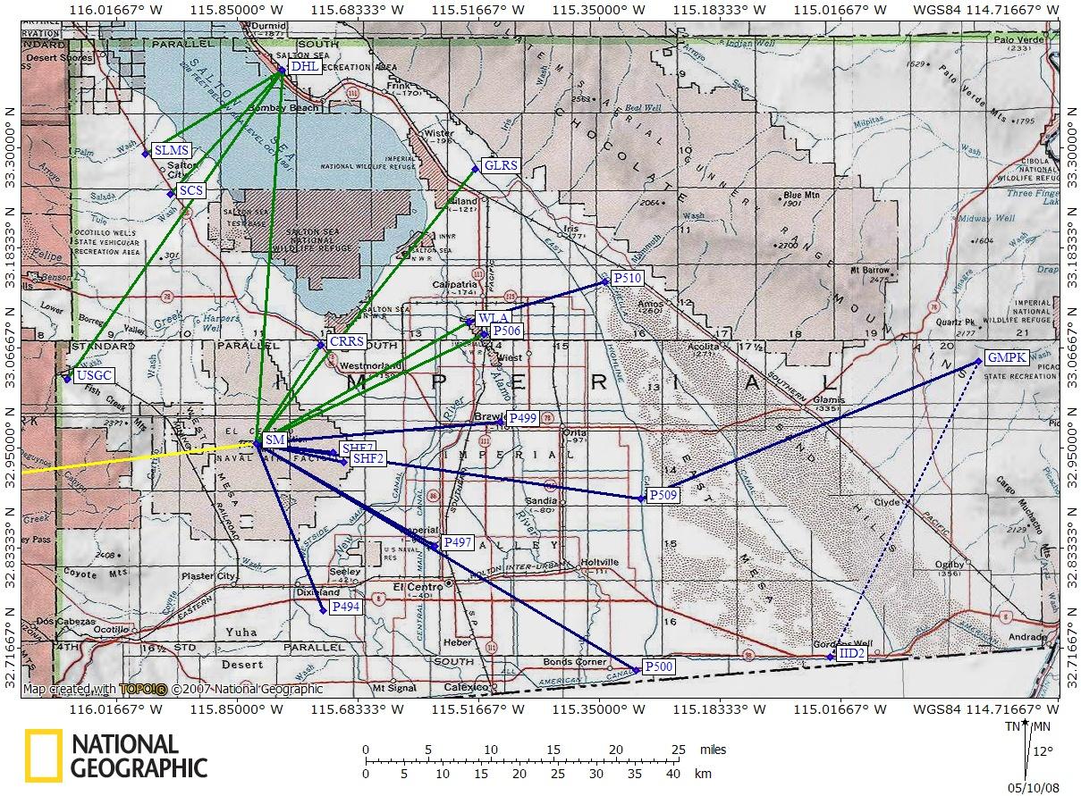
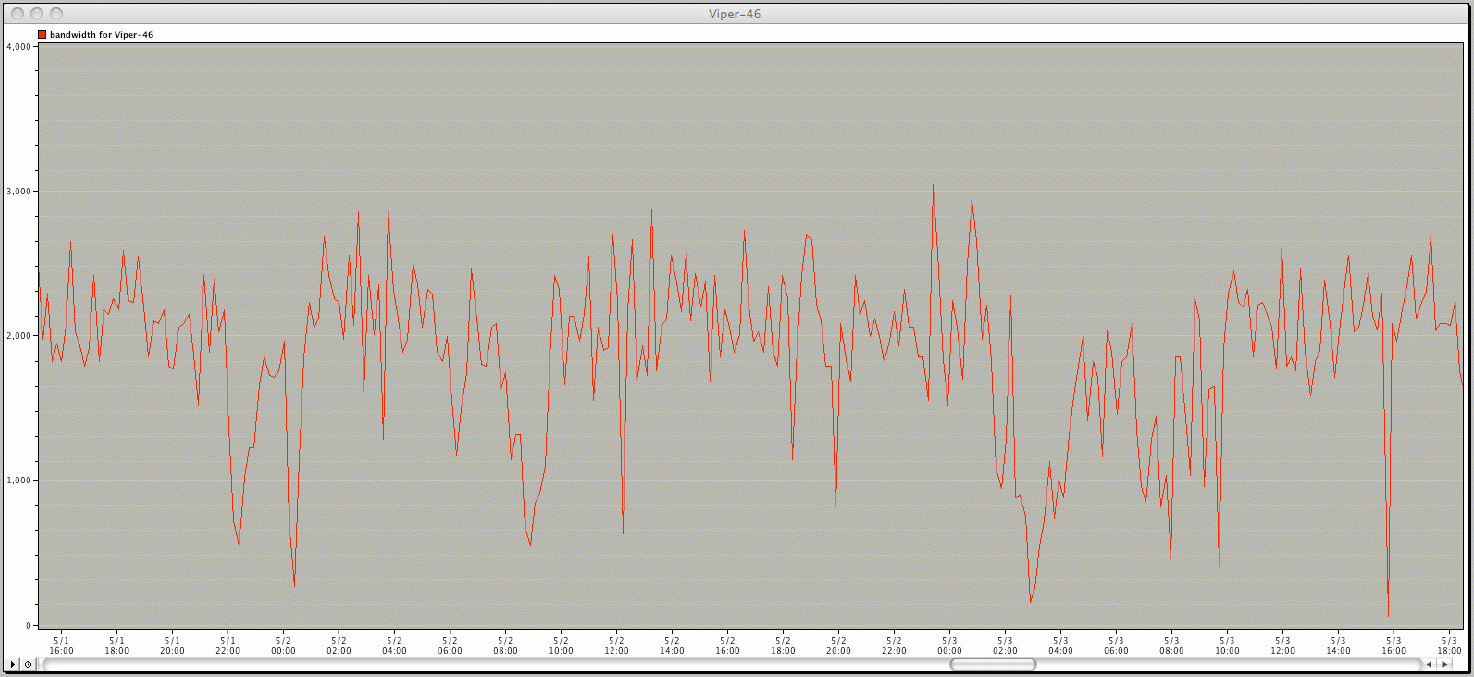
The recent increase of 2.4 GHz DSSS (direct sequence spread spectrum) radios co-located at SM requires operation on non-overlapping channels due to their asynchronous transmit/receive cycles. The original ML-SM 2.4 GHz point-to-point link occupied one of the desperately needed channels resulting in increased channel contention. Careful reallocation of channel usage improved the situation but a better solution was desired. Moving the ML-SM radio segment out-of-band (away from 2.4 GHz) would be that solution. Confirmation of this is evident in the "before" and "after" recordings from the network probe "viper-46" deployed at strain meter + GPS station "DHL". This probe, configured by Steve Foley (IGPP), measured the available unused bandwidth between IGPP and DHL (a segment offering a maximum of 5.5 Mbps half-duplex).
This upgrade significantly enhances the performance and capability of the HPWREN/RoadNet service from the Laguna Mountains in California to near the border with Arizona. An updated HPWREN topology map can be viewed at /Topo.
|