|
|
January 1, 2008
New large-size digital images available from visibility cameras at the Cabrillo National Monument By Susan Teel, Director, California Mediterranean Research Learning Center, National Park Service
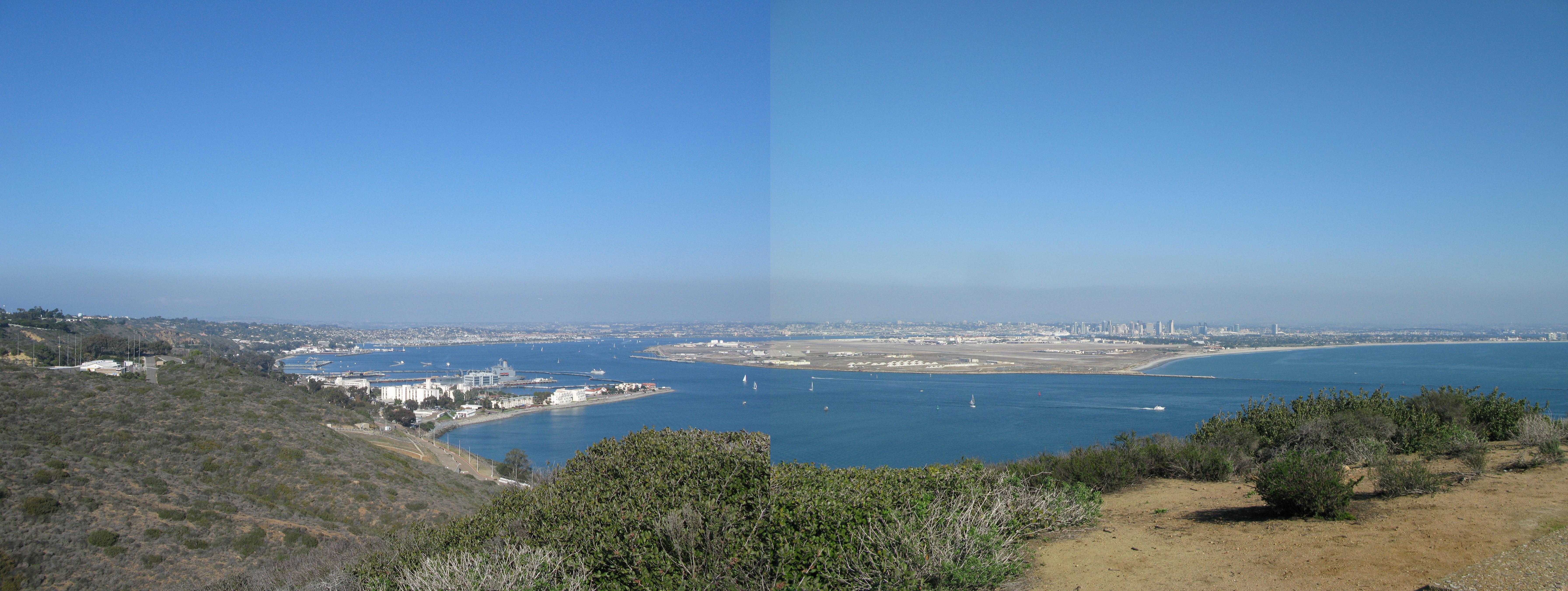
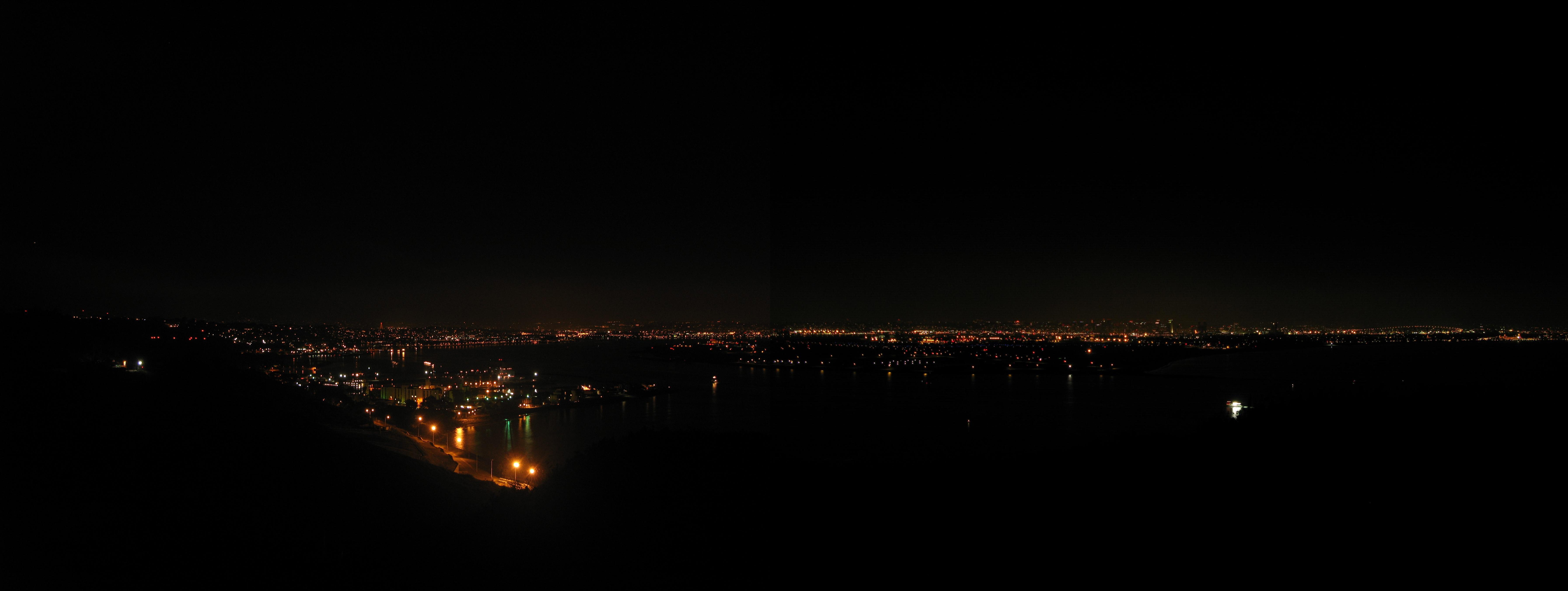
The High Performance Wireless Research and Education Network (HPWREN) collaborated with Cabrillo National Monument and the California Mediterranean Research Learning Center (CMRLC) to design and implement a wireless cyberinfrastructure which expands access to natural and cultural resources for researchers, educators, and the general public. The National Oceanic and Atmospheric Administration (NOAA), US Navy, and Santa Monica Mountains National Recreation Area (SMMNRA) coordinated with HPWREN and the CMRLC to expand the system by installing two new cameras and a controlling mini-computer behind the visitor's center. These cameras collect air quality data to complement and continue the existing data set, which spans 11 years. The images from the cameras are available to the general public, via the HPWREN web site ( /cameras/), thus expanding Internet access to the fabulous San Diego Sky-Line views for which Cabrillo National Monument is famous.
Visitors to Cabrillo National Monument frequently want to know "Is that fog or pollution?" "Why is it foggy now when it is sunny inland?" "Is the view clearer now than it used to be?" Because Cabrillo National Monument is situated close to large urban areas of San Diego and Tijuana, visible haze is frequently apparent to visitors. The new cameras will be paired with an interpretive explanation on the web site and a wayside exhibit near the cameras, providing visitors with qualitative air quality measures associated with the views. This project will help visitors gain understanding of air quality measures and the associated public health values, why air quality is important to protecting ecosystems, and how the general public can help improve air quality.
The effects of urbanization, smog, and diminished air quality on wildlife and their habitats threaten some of the best examples of Mediterranean type ecosystems remaining on earth. In the face of urbanization, National Park Service management recognizes the effects of habitat fragmentation; however we do not have adequate data to make management recommendations associated with improving impairments to visibility or reduced air quality. These cameras will complement the existing data collected and are a step toward improving our understanding of quantifiable relationships between visibility, air quality, and ecosystem impacts.
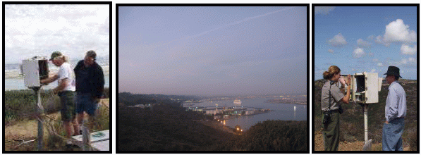
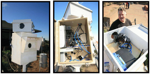
The new cameras are housed near the Visitor Center and co-located with NOAA sensors. The cameras are controlled by a small computer, and connected via Ethernet to HPWREN. The computer regularly collects images and forwards them on for processing and storage, particularly for web presentation. the images are available at /cameras/CNMVCSD/.
|