Image of the Week directory from previous years:
2008 -
2007 -
2006 -
2005 -
2004
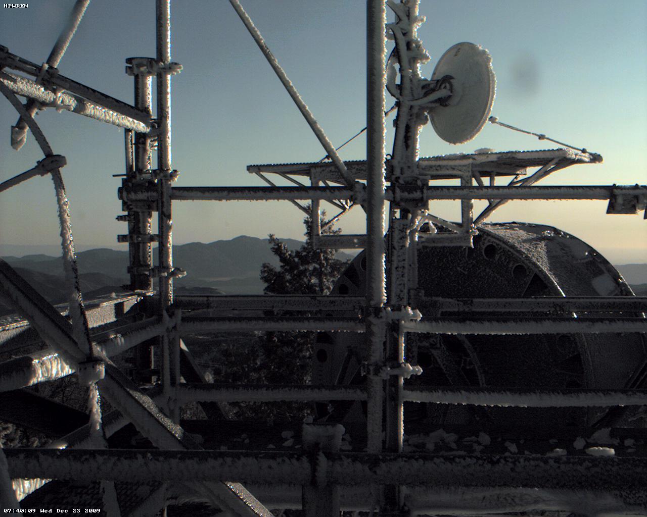
Image of December 26, 2009:
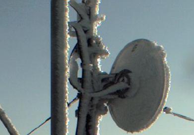 Ice on a tower at an HPWREN backbone site.
Trail series of the December 14, 2009 Wide-Field Infrared Survey
Explorer launch out of Vandenberg, as seen by an automated
environmental camera at the SDSU Santa Margarita Ecological Reserve.
Image of December 12, 2009:
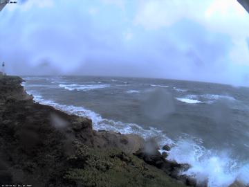 Cabrillo National Monument at Point Loma on a rainy and windy day.
Image of December 5, 2009:
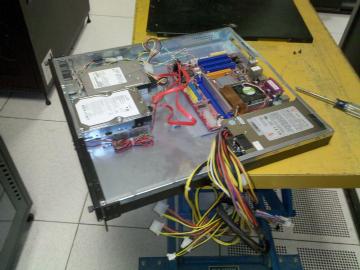 The HPWREN web server at SDSC, while getting a new power supply.
Image of November 28, 2009:
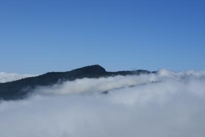
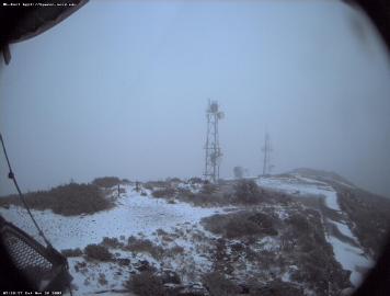 First Mt. Laguna snow for this winter season.
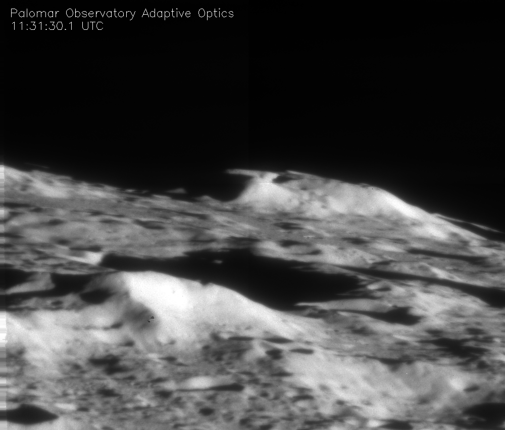
Image of November 21, 2009:
 This image the lunar crater Cabeus was taken on October 9, 2009 with
the Palomar Observatory's 200-inch (5.1-meter) Hale Telescope and its
adaptive optics system. Cabeus crater is located in the center, behind
the large bright mountain. Cabeus was the target of the NASA LCROSS
mission. The crater was chosen because it was thought to contain a
substantial amount of water ice. It was hoped by the LCROSS mission
team that the impact would send an ejecta plume above the lunar
surface, which could be observed from ground-based telescopes. No
plume was observed from any telescope, but water ice was detected from
an orbiting NASA spacecraft.
This image the lunar crater Cabeus was taken on October 9, 2009 with
the Palomar Observatory's 200-inch (5.1-meter) Hale Telescope and its
adaptive optics system. Cabeus crater is located in the center, behind
the large bright mountain. Cabeus was the target of the NASA LCROSS
mission. The crater was chosen because it was thought to contain a
substantial amount of water ice. It was hoped by the LCROSS mission
team that the impact would send an ejecta plume above the lunar
surface, which could be observed from ground-based telescopes. No
plume was observed from any telescope, but water ice was detected from
an orbiting NASA spacecraft.
Palomar's Adaptive Optics system removes the blurring effects of
Earth's atmosphere to produce very high resolution images. This image
is one of the highest resolution photos taken of the Moon from a
ground-based telescope. The field of view is 71 km (40 arcseconds,
with ~200m resolution), recorded at 2.1 microns wavelength. Images
were produced by Antonin Bouchez of Caltech.
Caption by W. Scott Kardel, Public Affairs Coordinator,
Palomar Observatory
Image of November 14, 2009:
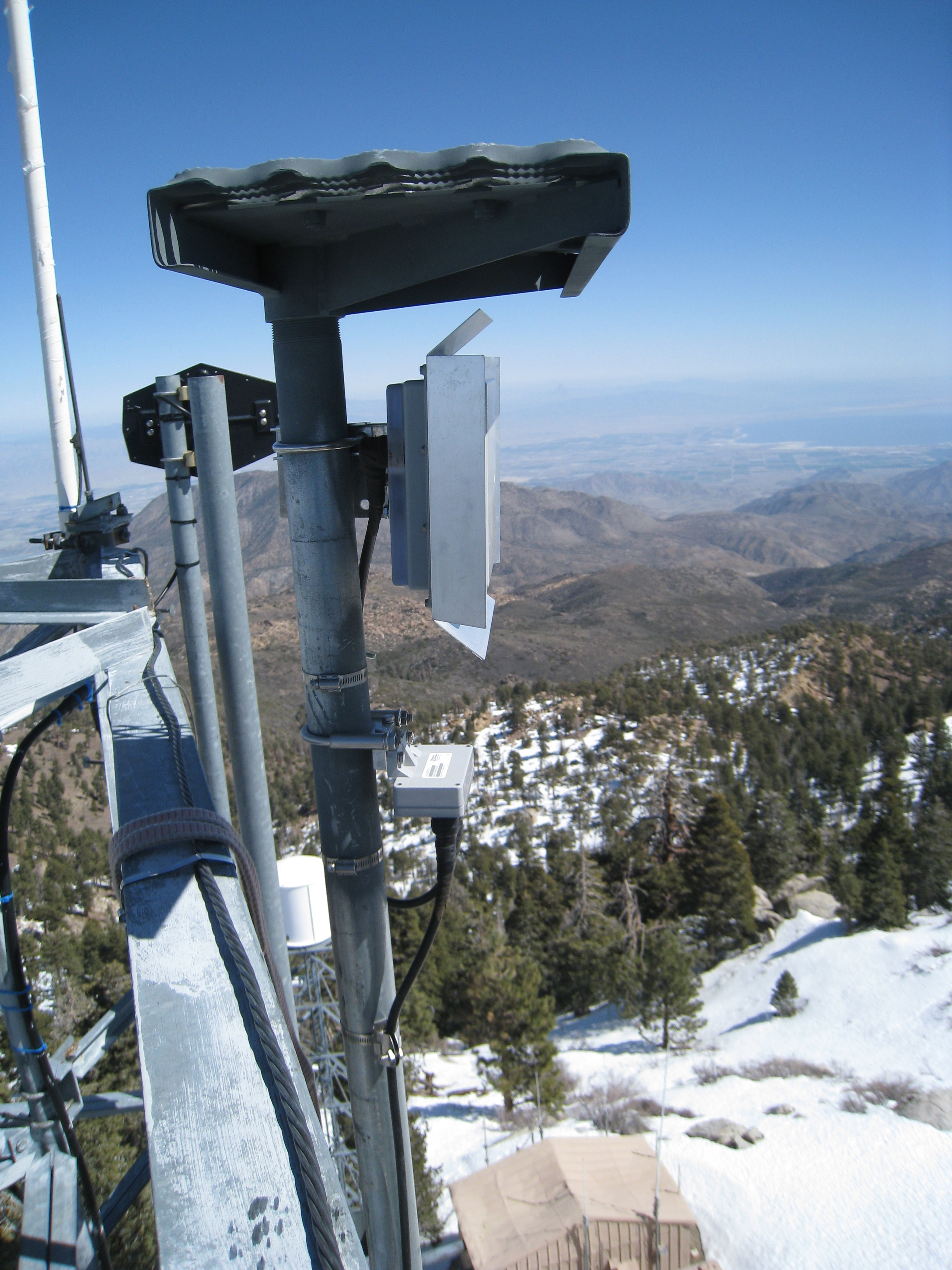
 Jim Hale, behind two HPWREN dish antennas at one of the backbone
sites.
Jim Hale, behind two HPWREN dish antennas at one of the backbone
sites.
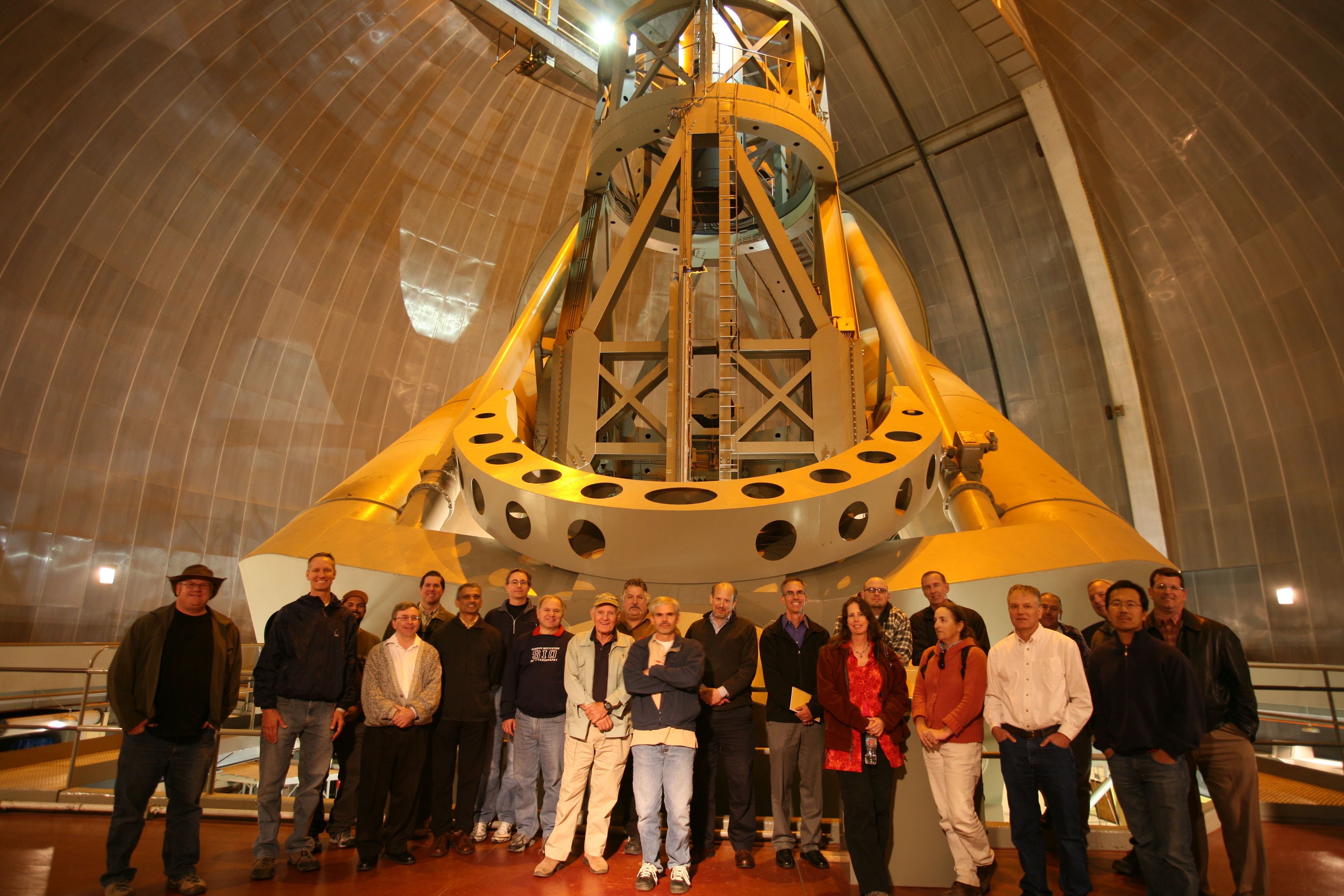
Image of November 7, 2009:
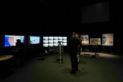
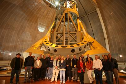 Group photo from the November 5 2009 HPWREN Annual Users Workshop at
the Palomar Observatory.
Group photo from the November 5 2009 HPWREN Annual Users Workshop at
the Palomar Observatory.
Photo by Scott Kardel
Image of October 31, 2009:
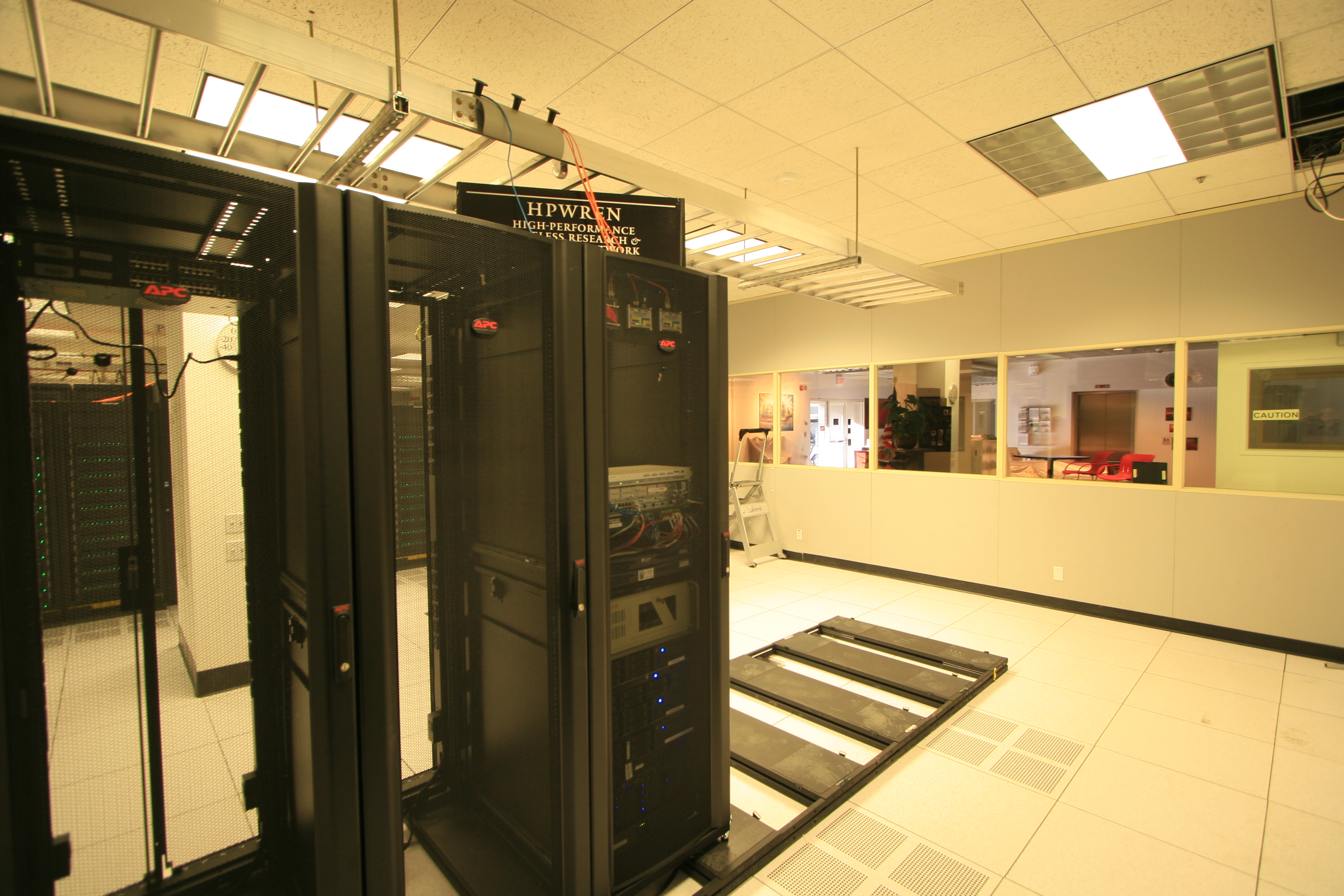
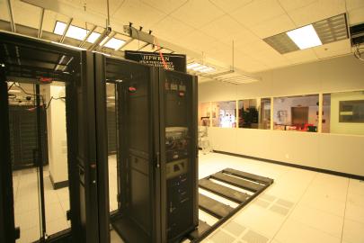
 HPWREN rack at the San Diego Supercomputer Center.
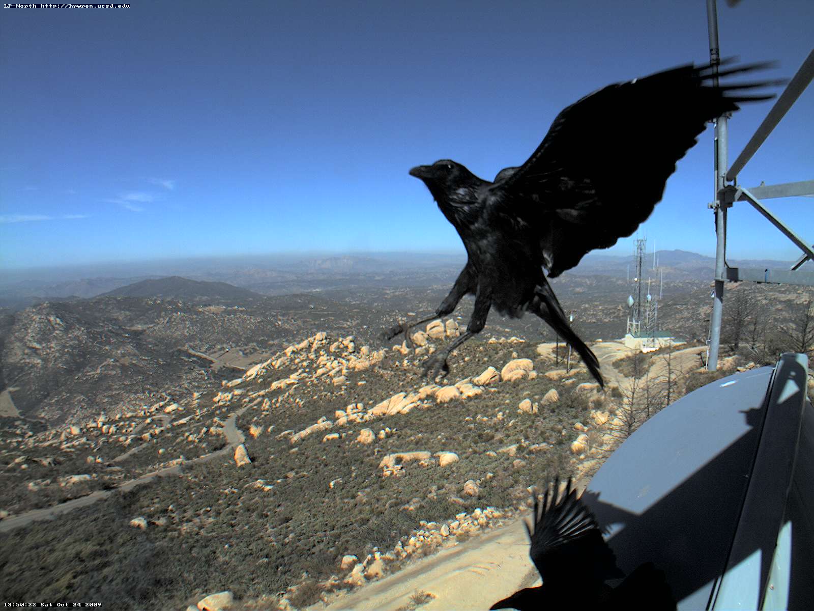
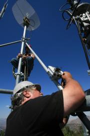
Image of October 24, 2009:
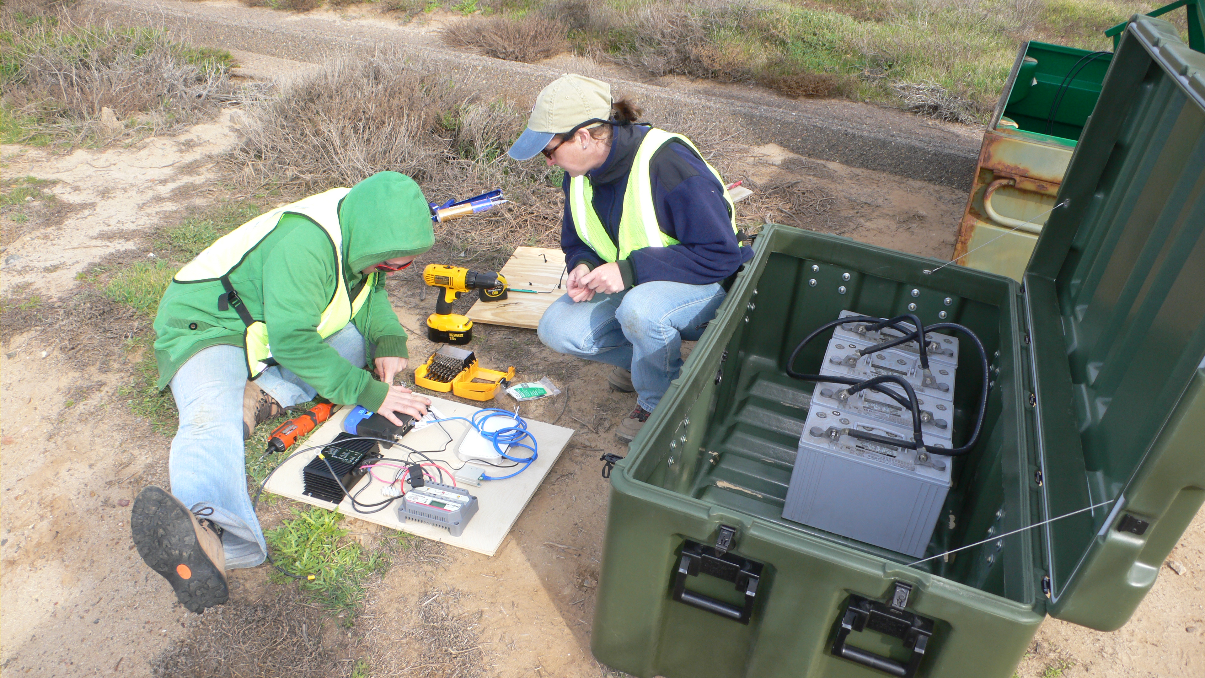
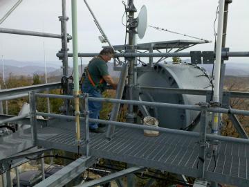
 Tower acrobats at Lyons Peak.
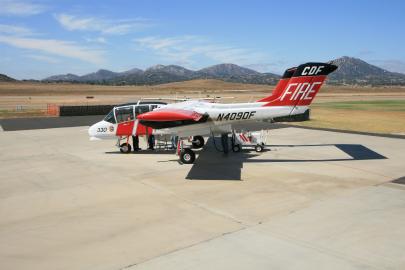
Image of October 17, 2009:
 About 30 megabyte MPEG-4 (.f4v) video from the inside of the Cal Fire
AA330, taken during takeoff by Battalion Chief Ray Chaney with a
wide-angle lens during a test flight related to the recent Enhanced Situational
Awareness for First Responders article.
About 30 megabyte MPEG-4 (.f4v) video from the inside of the Cal Fire
AA330, taken during takeoff by Battalion Chief Ray Chaney with a
wide-angle lens during a test flight related to the recent Enhanced Situational
Awareness for First Responders article.
Image of October 10, 2009:
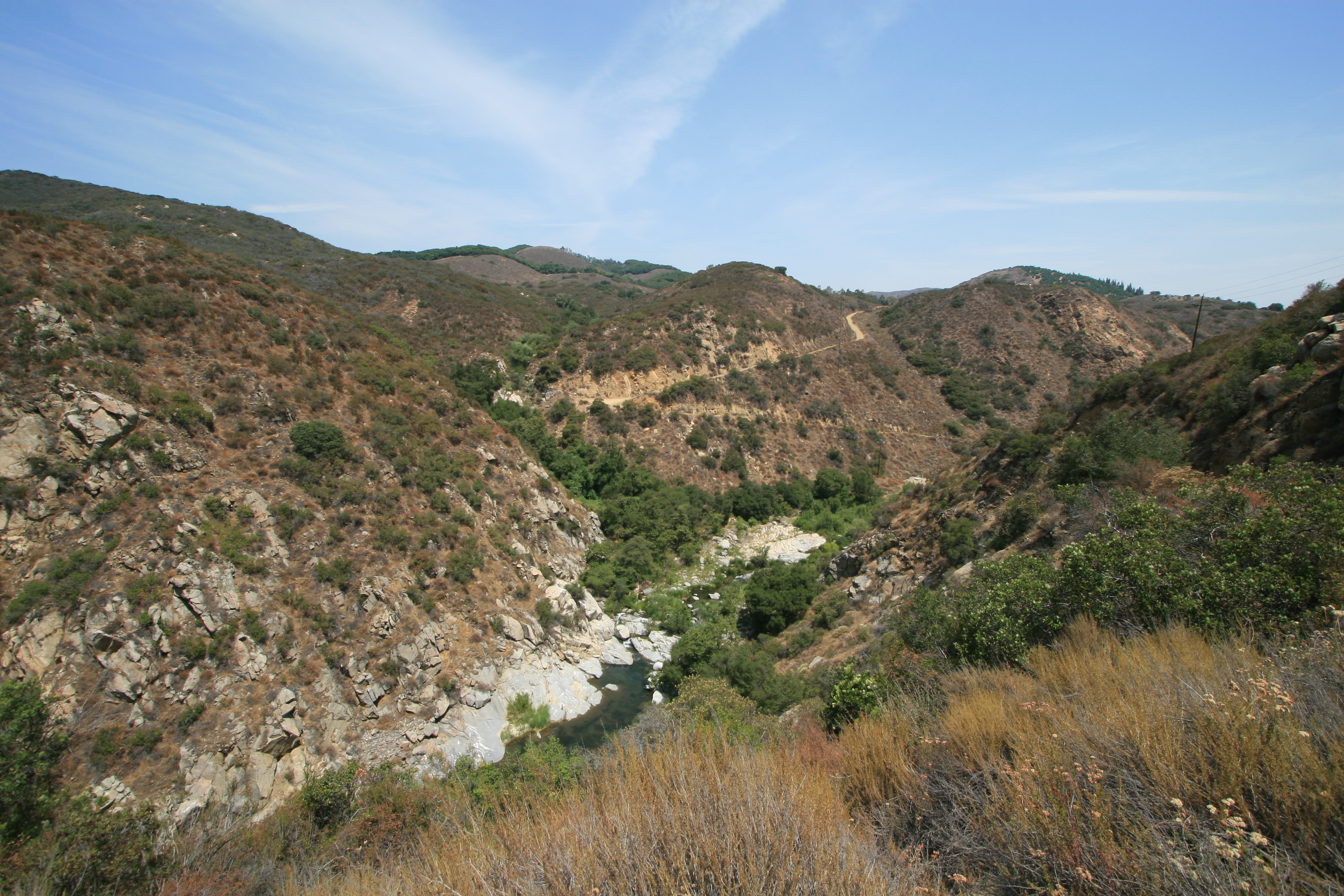
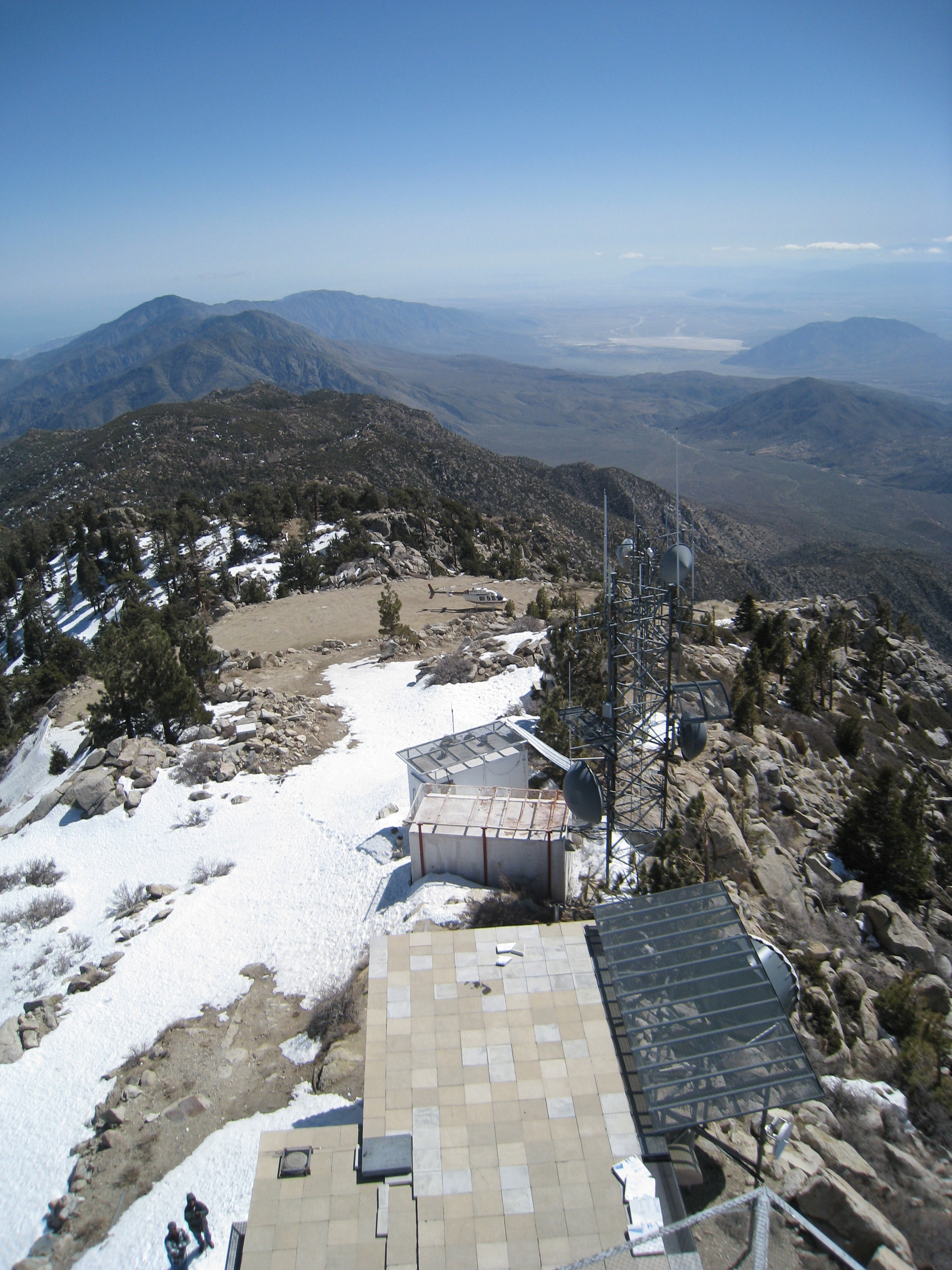
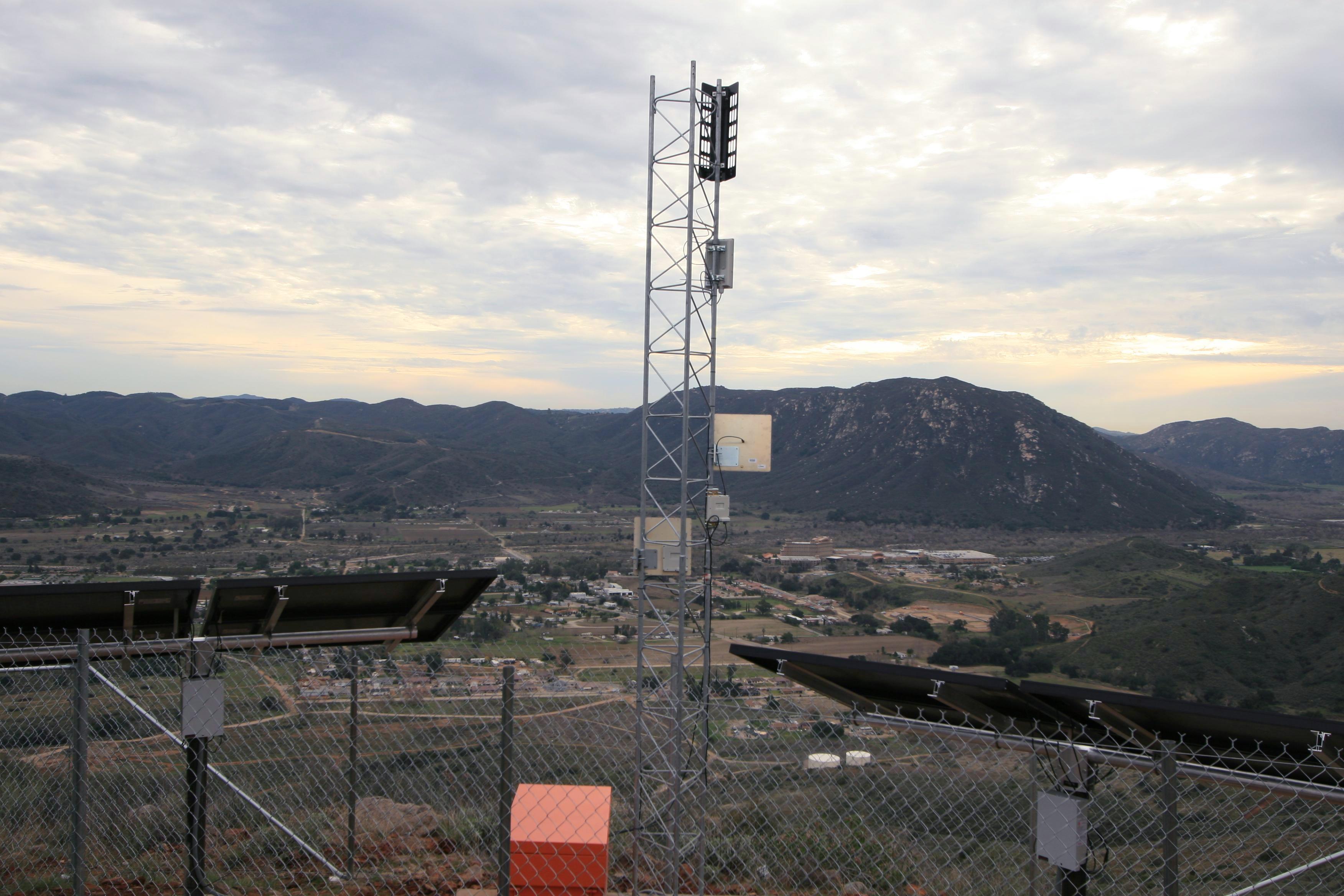
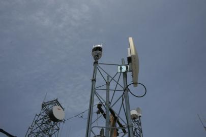
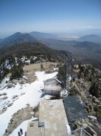
 Cuyamaca Mountains view from an HPWREN backbone site.
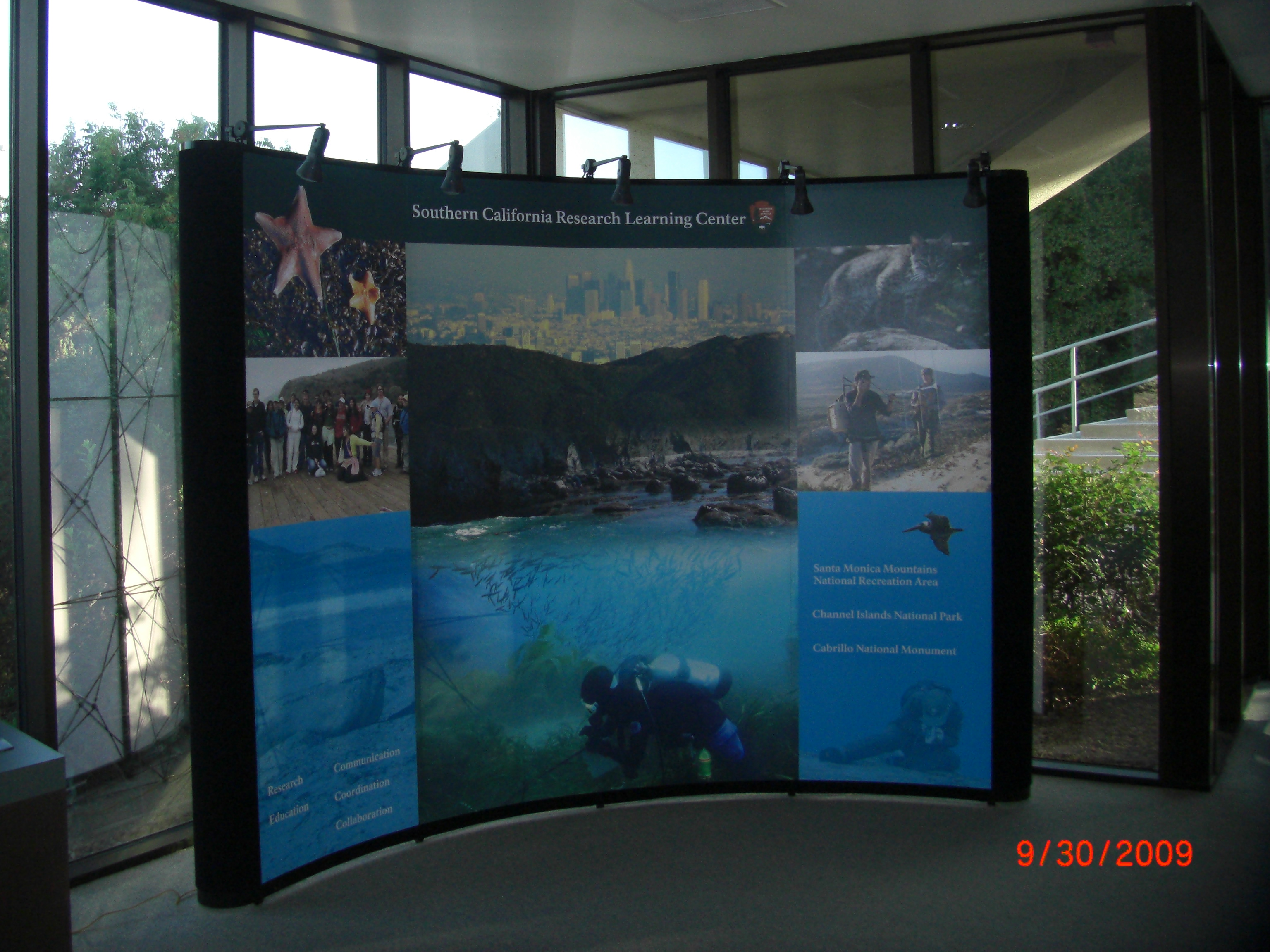
Image of October 3, 2009:
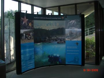 11' * 9' NPS/SCRLC display, designed by Monika Braun, some of it
related to the collaboration with HPWREN.
11' * 9' NPS/SCRLC display, designed by Monika Braun, some of it
related to the collaboration with HPWREN.
Photo by Susan Teel
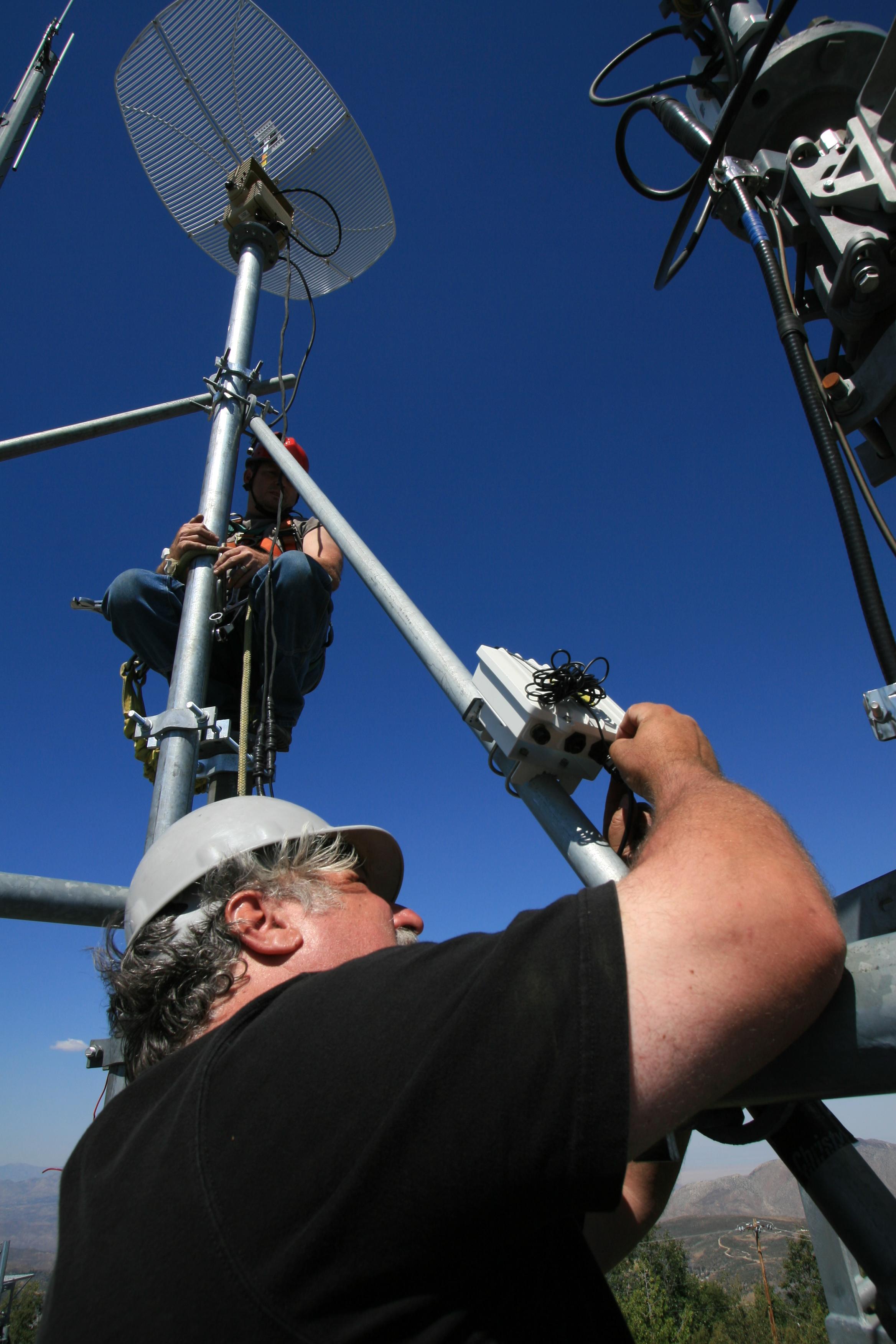
Image of September 26, 2009:
 Pablo Bryant and Jim Hale during the installation of the tracking
antenna described in
/news/20090925/.
Pablo Bryant and Jim Hale during the installation of the tracking
antenna described in
/news/20090925/.
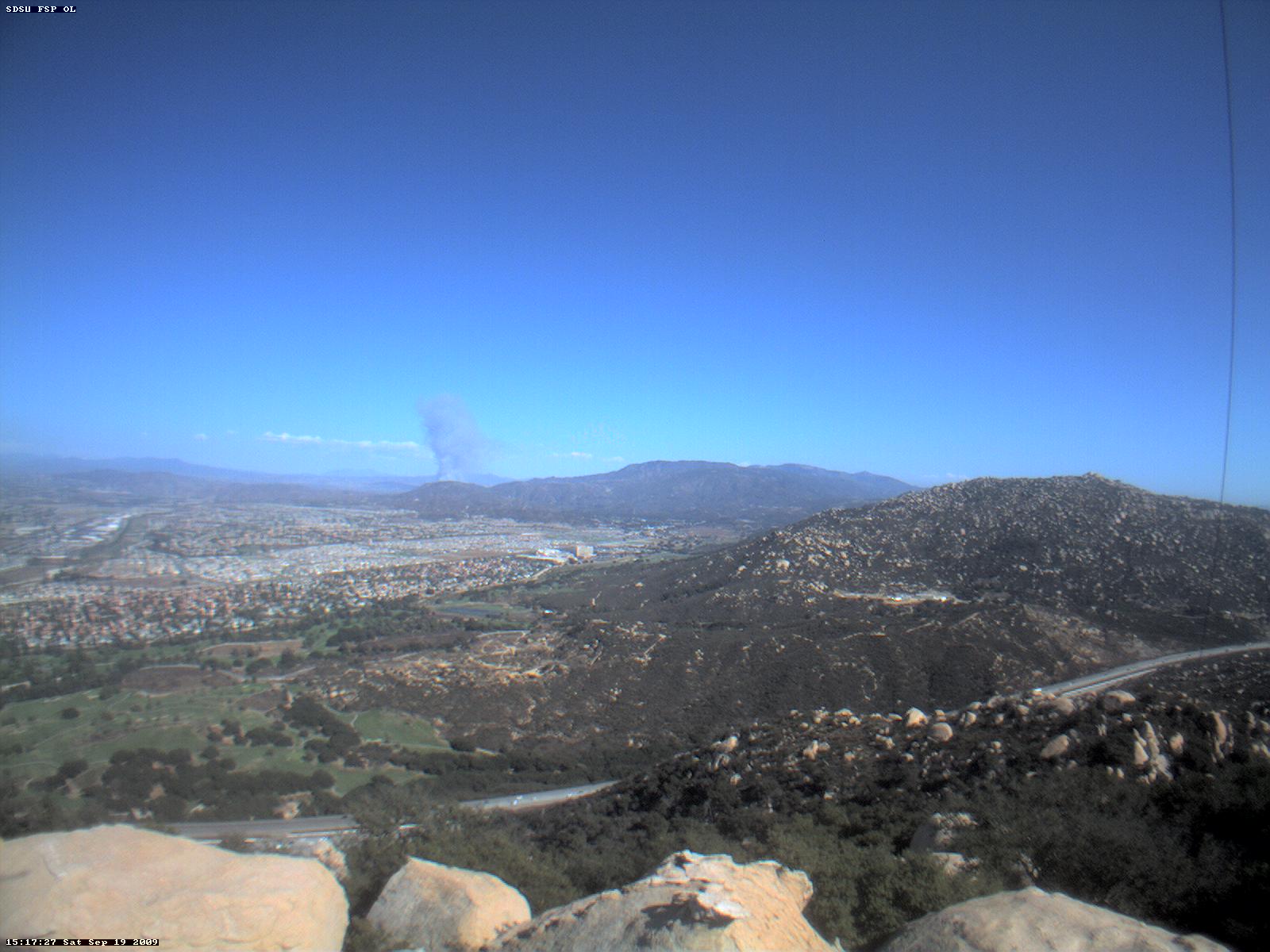
Image of September 19, 2009:
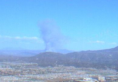 Saturday fire in Riverside County, seen from a camera at the SDSU
Santa Margarita Ecological Reserve.
Saturday fire in Riverside County, seen from a camera at the SDSU
Santa Margarita Ecological Reserve.
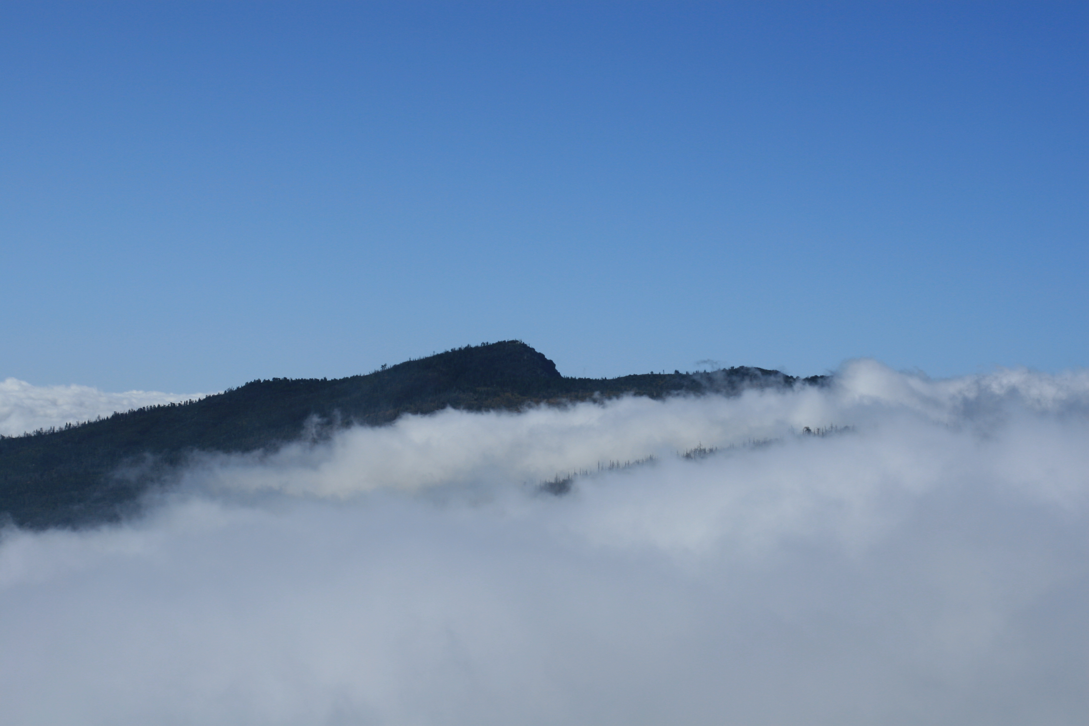
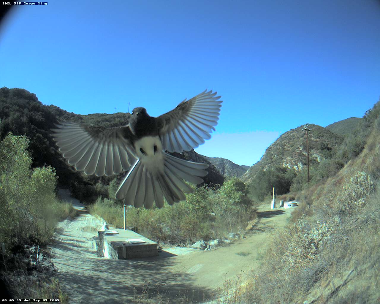
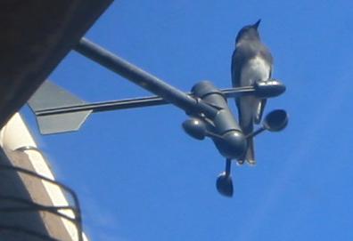
Image of September 12, 2009:
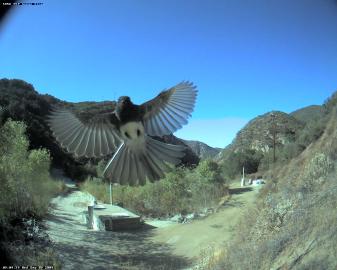

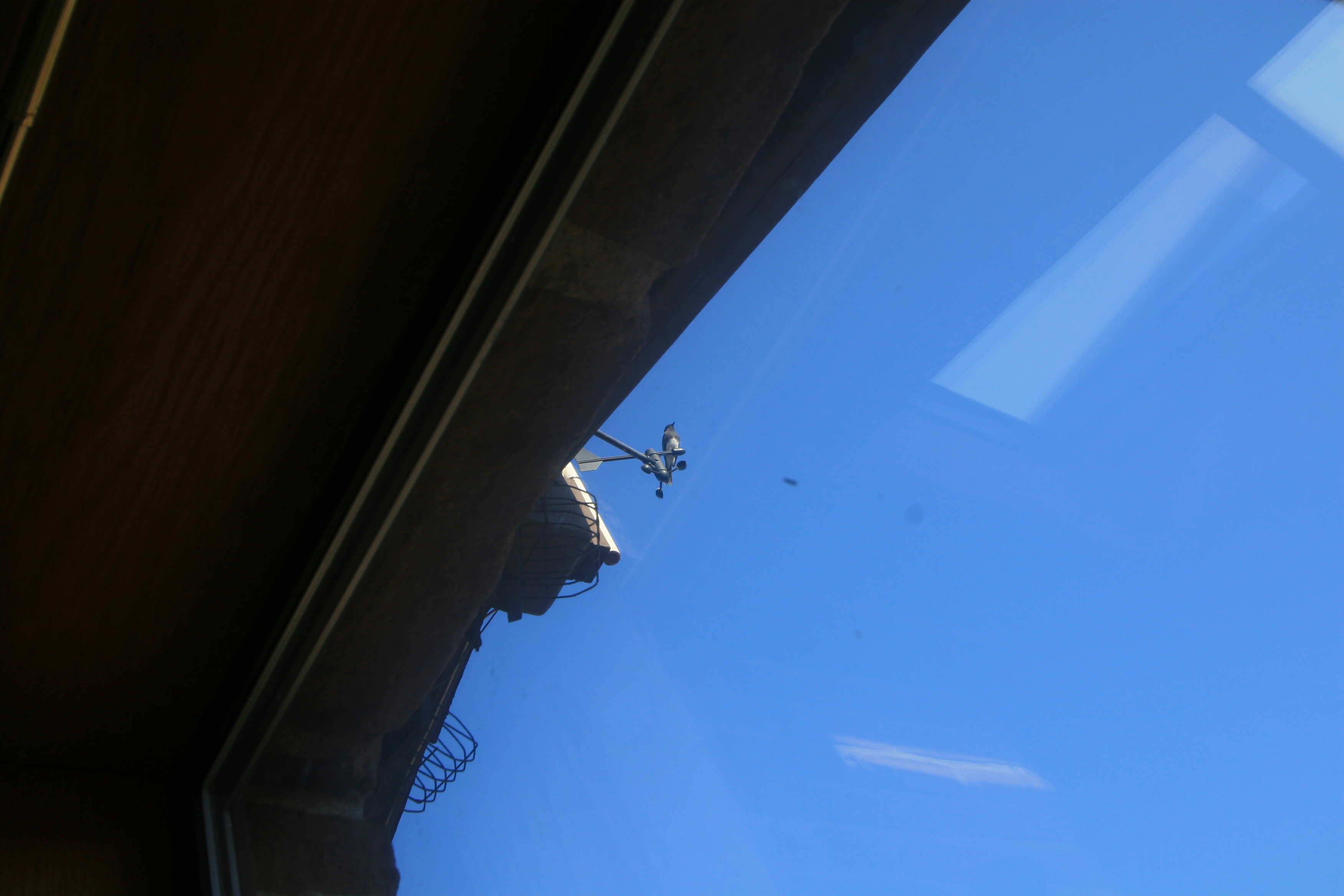
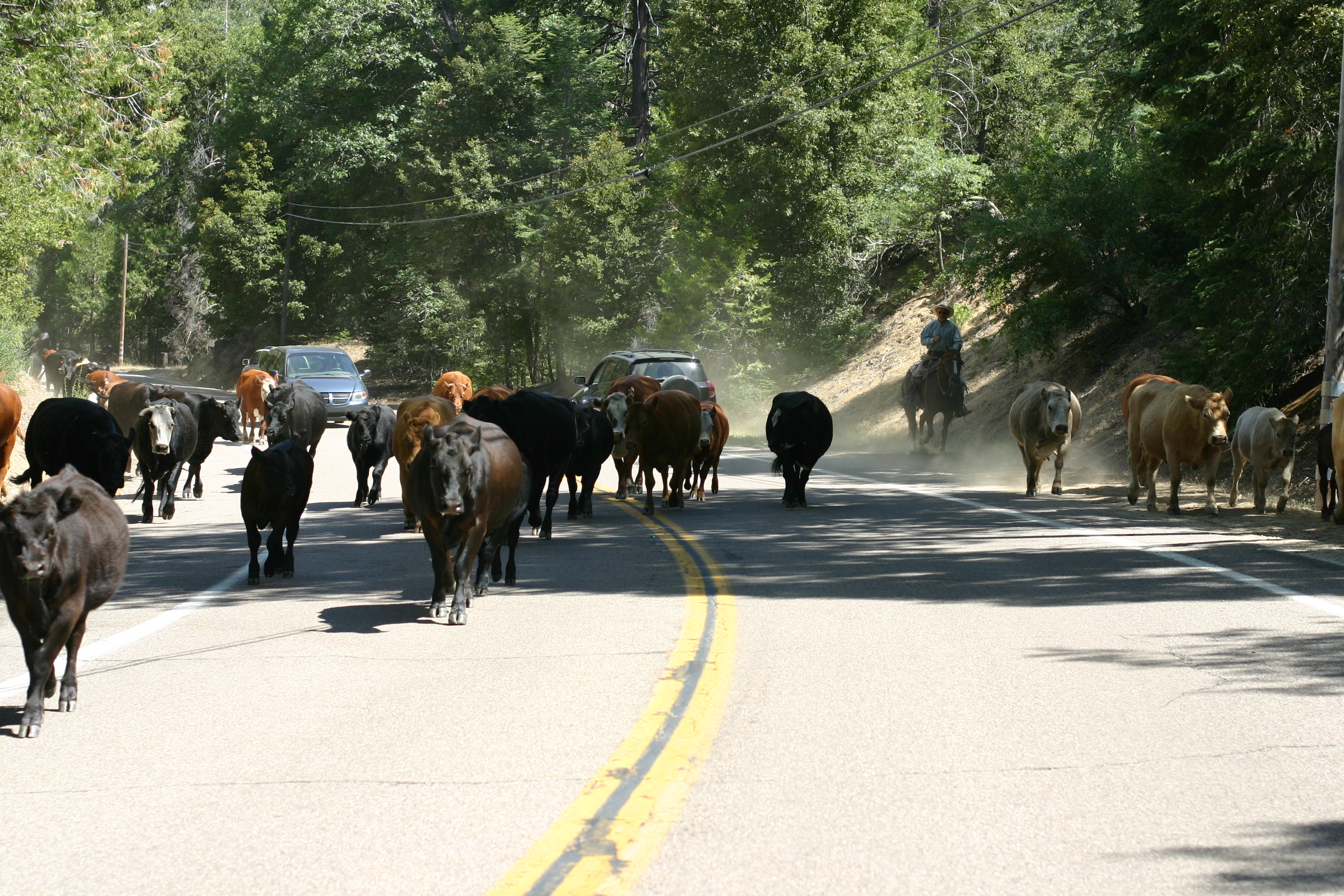
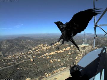
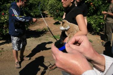
Close Encounters of the Bird Kind
Image of September 5, 2009:
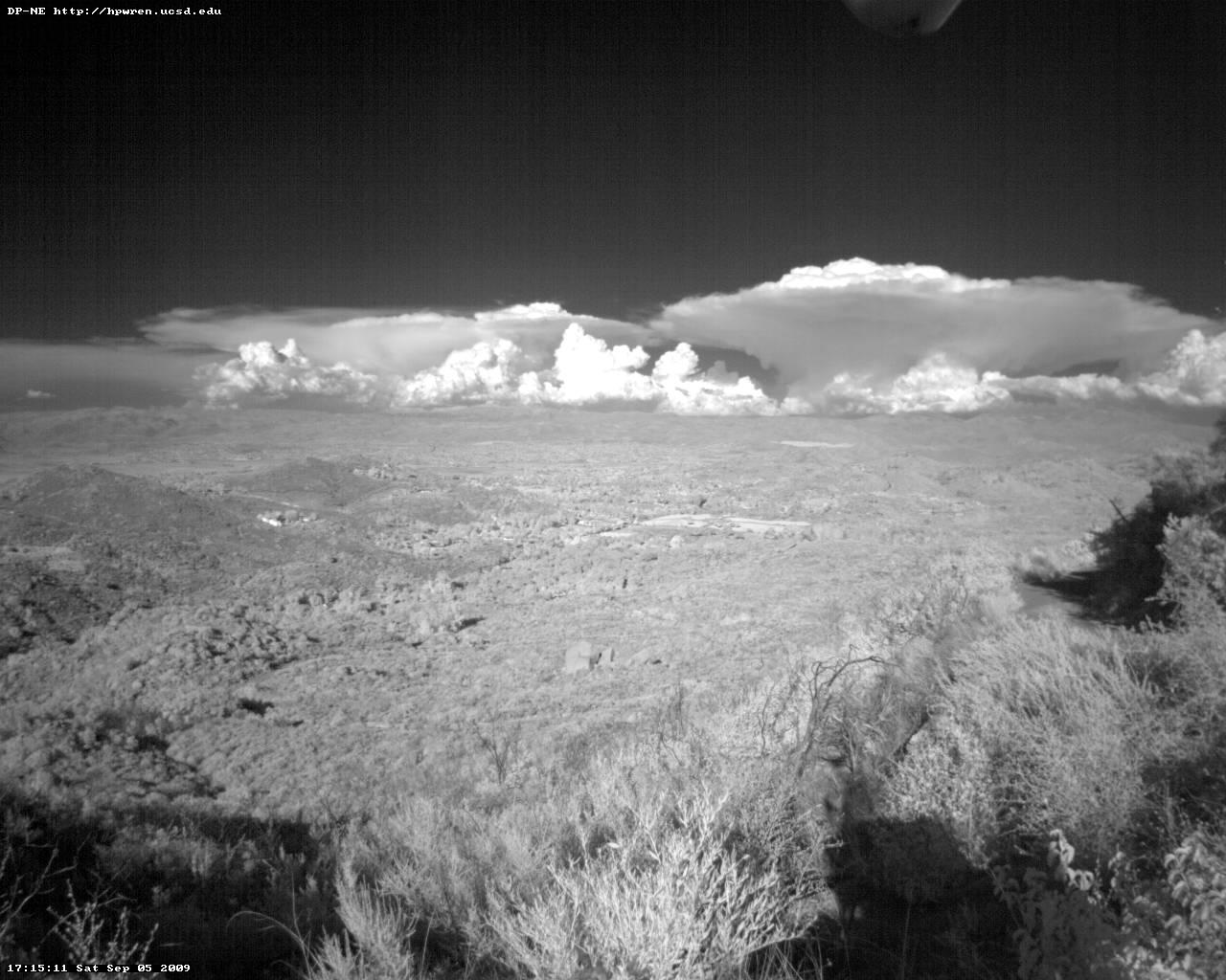
 Cloud formations, as seen by an near-IR HPWREN camera.
Time lapse animation.
Cloud formations, as seen by an near-IR HPWREN camera.
Time lapse animation.
Image of August 29, 2009:
 Does this result in data errors?
Image of August 22, 2009:
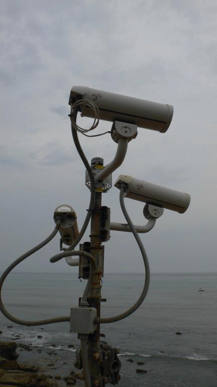
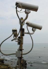 Environmental cameras at the tidepools of the NPS Cabrillo National
Monument, with images available at /cameras/.
Note that there will be a public NPS Founder's Day
event on Tuesday, August 25.
Environmental cameras at the tidepools of the NPS Cabrillo National
Monument, with images available at /cameras/.
Note that there will be a public NPS Founder's Day
event on Tuesday, August 25.
Photo by Jim Hale
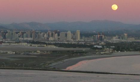
Image of August 15, 2009:
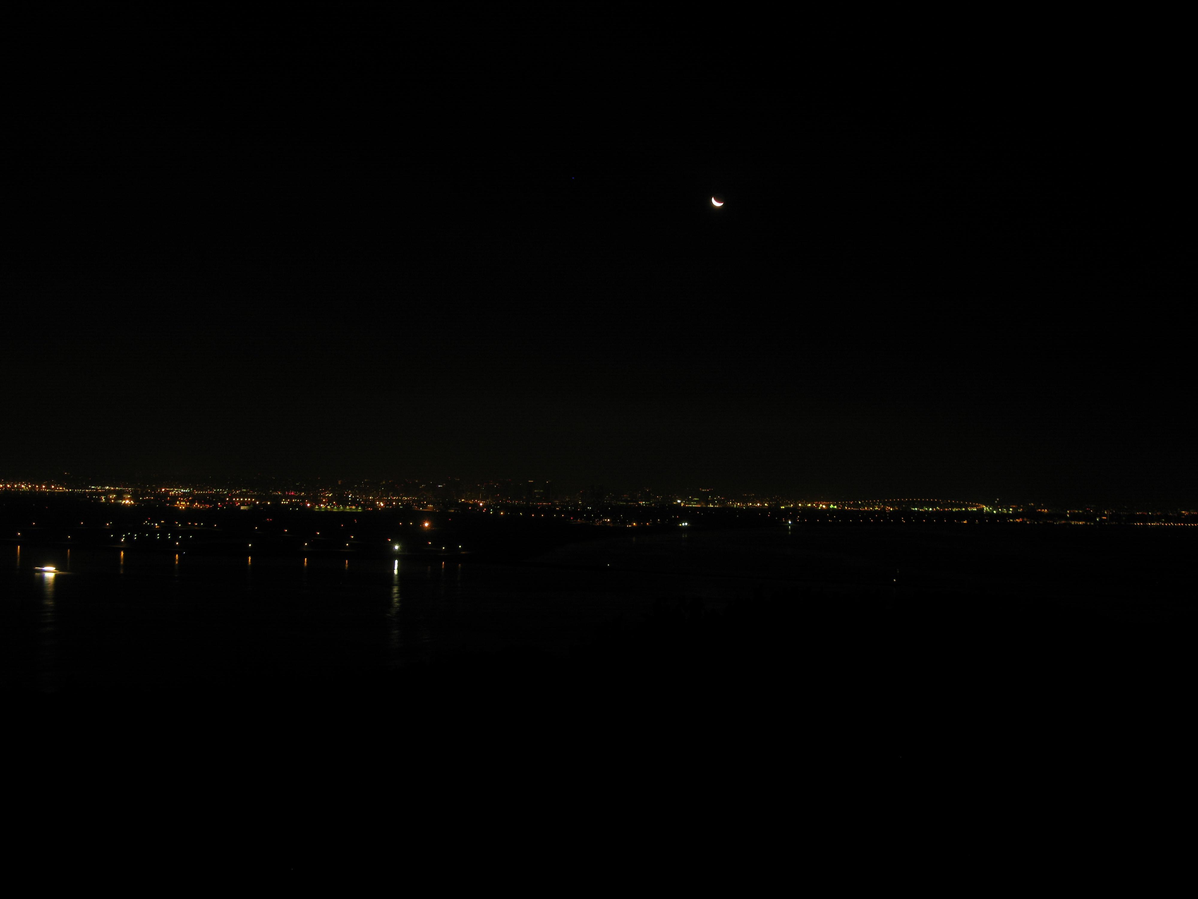
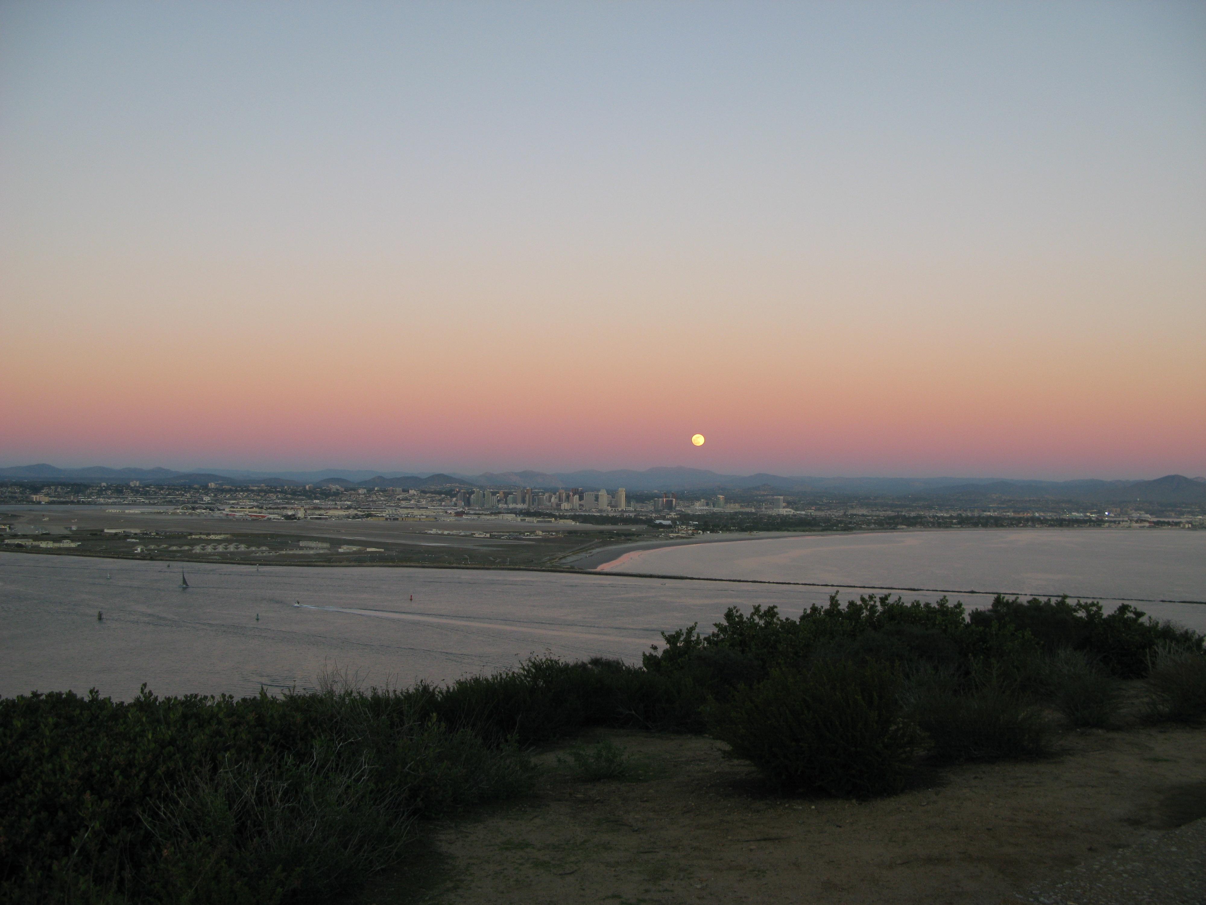
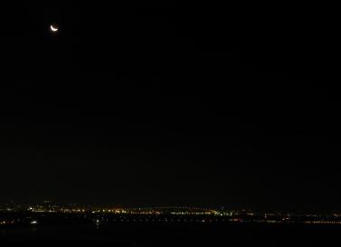 Moon over San Diego. The photo was automatically taken by one of the
NPS visibility cameras at the Cabrillo National Monument.
Moon over San Diego. The photo was automatically taken by one of the
NPS visibility cameras at the Cabrillo National Monument.
Image of August 8, 2009:
 CalFire Air Attack AA330 at their Ramona air base.
Image of August 1, 2009:
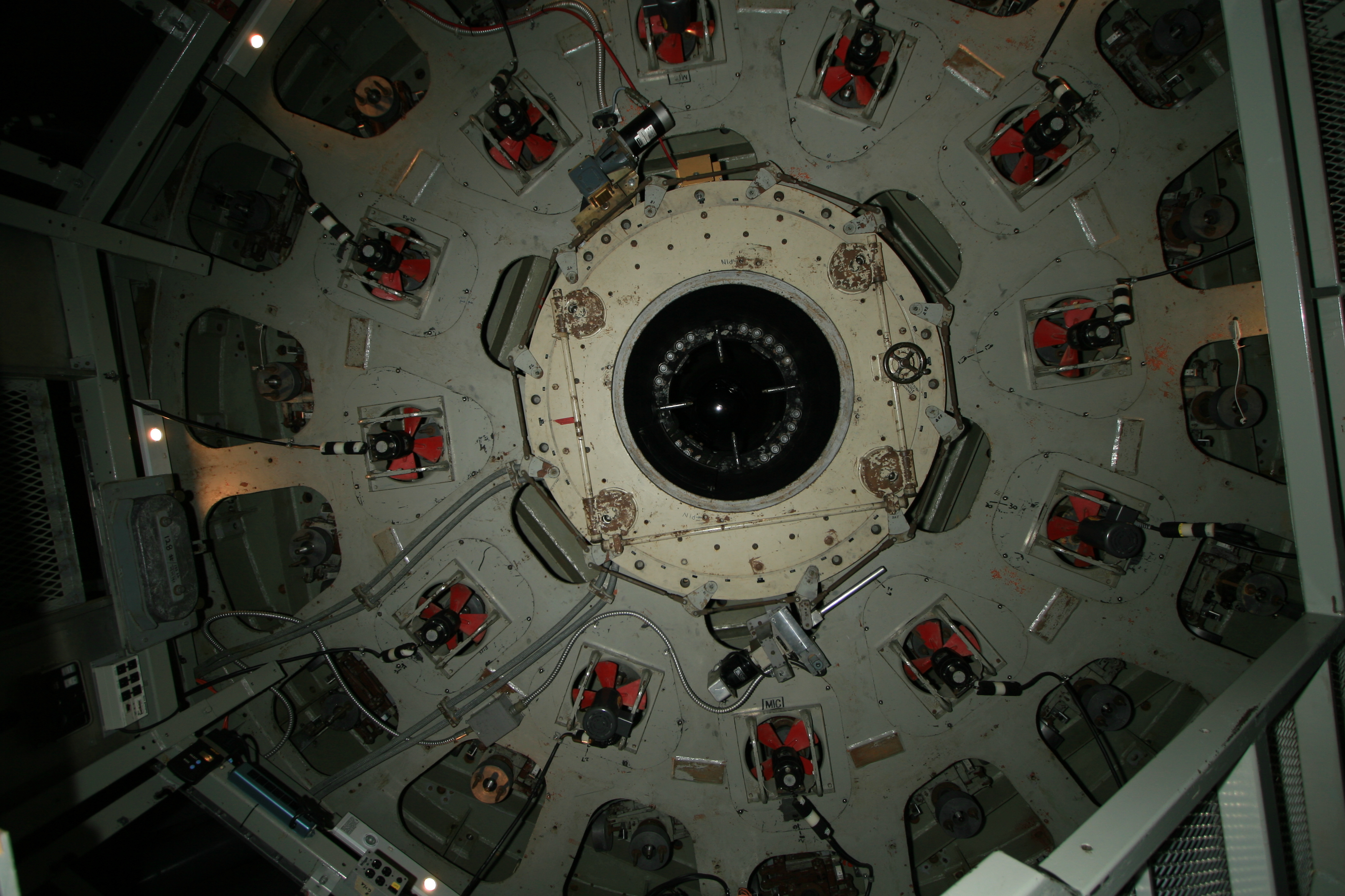
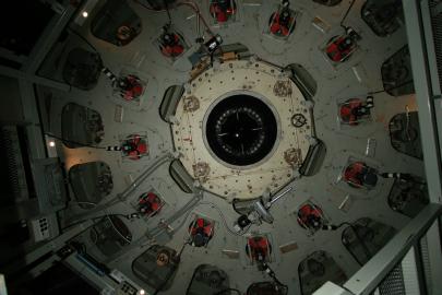 A bottom-up view of the 200-inch Hale Telescope at Palomar
Observatory. The view shows the underside of the 200-inch mirror's
cell with red cooling fans encircled by mechanical supports which help
the mirror to retain its proper shape regardless of where the
telescope is pointed. At the very center of the image is a bright
spot, a reflection off of the telescope's secondary mirror some 50
feet above the primary mirror. Light from the camera flash passed up
through the hole in the 200-inch mirror up to the secondary mirror and
reflected back down to the camera. The photo was taken during an
instrument change, catching the underside of the telescope in a rare
moment with no camera attached to its lower (Cassegrain) focus.
A bottom-up view of the 200-inch Hale Telescope at Palomar
Observatory. The view shows the underside of the 200-inch mirror's
cell with red cooling fans encircled by mechanical supports which help
the mirror to retain its proper shape regardless of where the
telescope is pointed. At the very center of the image is a bright
spot, a reflection off of the telescope's secondary mirror some 50
feet above the primary mirror. Light from the camera flash passed up
through the hole in the 200-inch mirror up to the secondary mirror and
reflected back down to the camera. The photo was taken during an
instrument change, catching the underside of the telescope in a rare
moment with no camera attached to its lower (Cassegrain) focus.
Image of July 25, 2009:
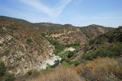 Near the river crossing at the Santa Margarita Ecological Reserve.
Image of July 18, 2009:
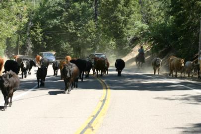 Wildlife observations upon returning from a Palomar Observatory
meeting.
Wildlife observations upon returning from a Palomar Observatory
meeting.
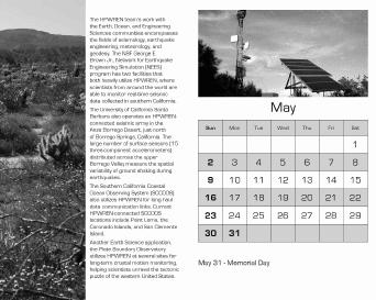
Image of July 11, 2009:
 Newly HPWREN-connected Plate
Boundary Observatory (PBO) site near the tidepools at Point
Loma. The Plate Boundary Observatory, part of the EarthScope Program
that is funded by the National Science Foundation, studies the
three-dimensional strain field resulting from active plate boundary
deformation across the Western United States.
Newly HPWREN-connected Plate
Boundary Observatory (PBO) site near the tidepools at Point
Loma. The Plate Boundary Observatory, part of the EarthScope Program
that is funded by the National Science Foundation, studies the
three-dimensional strain field resulting from active plate boundary
deformation across the Western United States.
Image of July 4, 2009:
 HPWREN-connected USArray
site at Camp Elliot. The sensor itself is buried under ground.
HPWREN-connected USArray
site at Camp Elliot. The sensor itself is buried under ground.
Image of June 27, 2009:
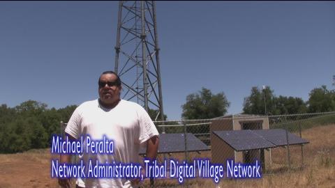 A short
video related to a recent HPWREN update shows
Michael Peralta describing TDVnet collaborations.
A short
video related to a recent HPWREN update shows
Michael Peralta describing TDVnet collaborations.
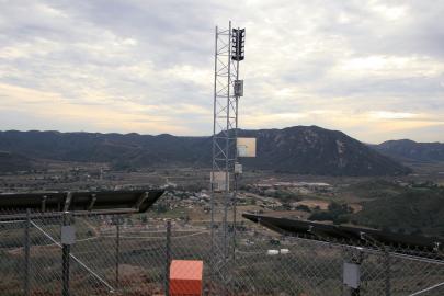
Image of June 20, 2009:
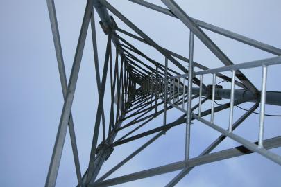 The inside of a radio communications tower.
Image of June 13, 2009:
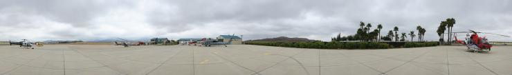
360 degree views from High Point (~64 megapixels) with the Palomar
Observatory visible, and of the Ramona Cal Fire Air Attack Base
(~65 megapixels) during preparations for a media event.
Image of June 6, 2009:
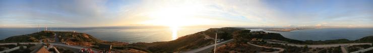
360 degree view of a sunset from the Point Loma lighthouse. The full
image is about 67 megabytes.
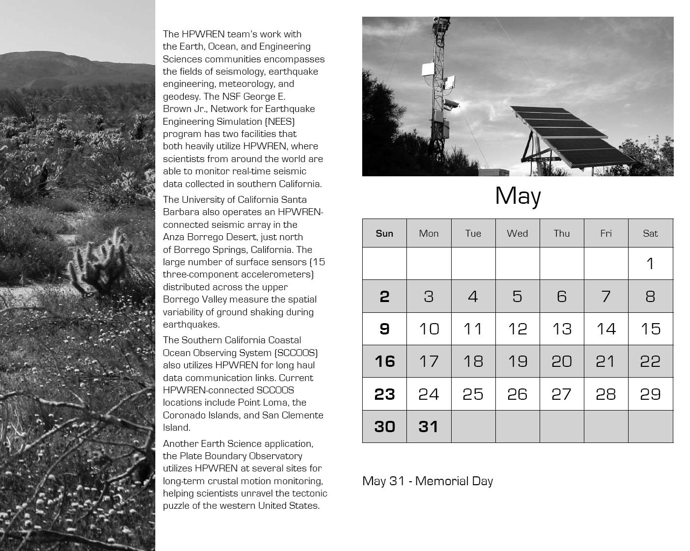
Image of May 30, 2009:
 A page from a 2010 greyscale calendar, which Monika Braun did as a
college class project. The complete calendar can be found at /Monika/.
A page from a 2010 greyscale calendar, which Monika Braun did as a
college class project. The complete calendar can be found at /Monika/.
Image of May 23, 2009:
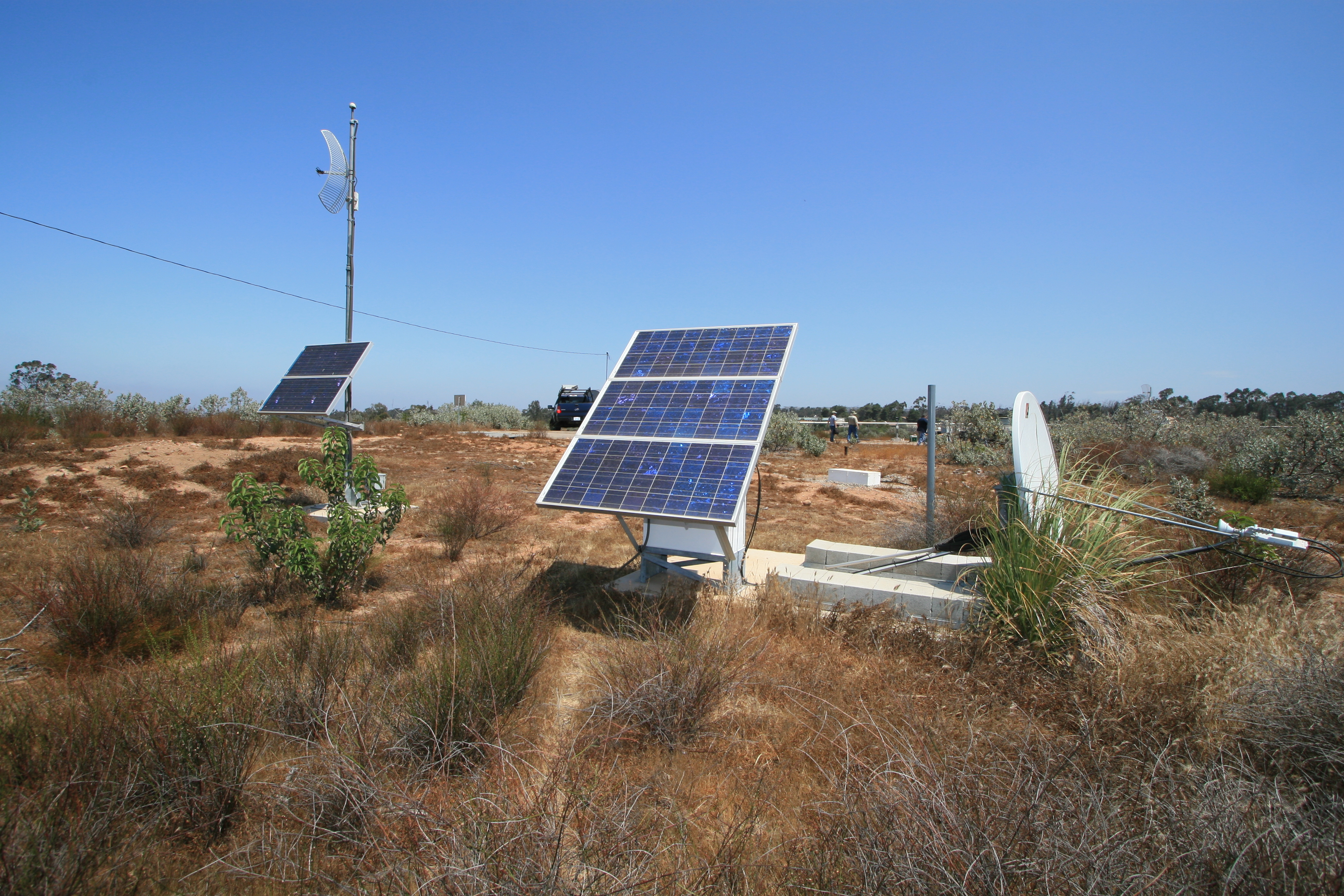
 HPWREN and ANZA/USArray demo are being tested for a May 21
Calit2 Future in Review conference.
HPWREN and ANZA/USArray demo are being tested for a May 21
Calit2 Future in Review conference.
Image of May 17, 2009:
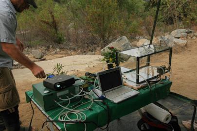 Pablo Bryant is preparing for a Green Day event at the SDSU Santa
Margarita Ecological Reserve.
Pablo Bryant is preparing for a Green Day event at the SDSU Santa
Margarita Ecological Reserve.
Image of May 9, 2009:
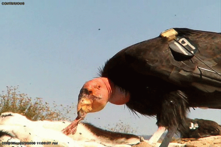
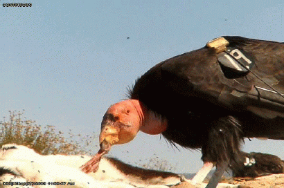 Condor feeding!
This image is part of a ~1.6MB video
provided by wildlife biologist Jim Petterson of the NPS Pinnacles
National Monument, which, in cooperation with the Institute for
Wildlife Studies, has deployed PTZ cameras connected through a
wireless network. The development of this network was aided by a
technology transfer
workshop and allows biologists to monitor feeding activities
of California condors on a continuous basis. A second ~5,9MB video
provides more details and also shows bird interactions.
Image of May 2, 2009:
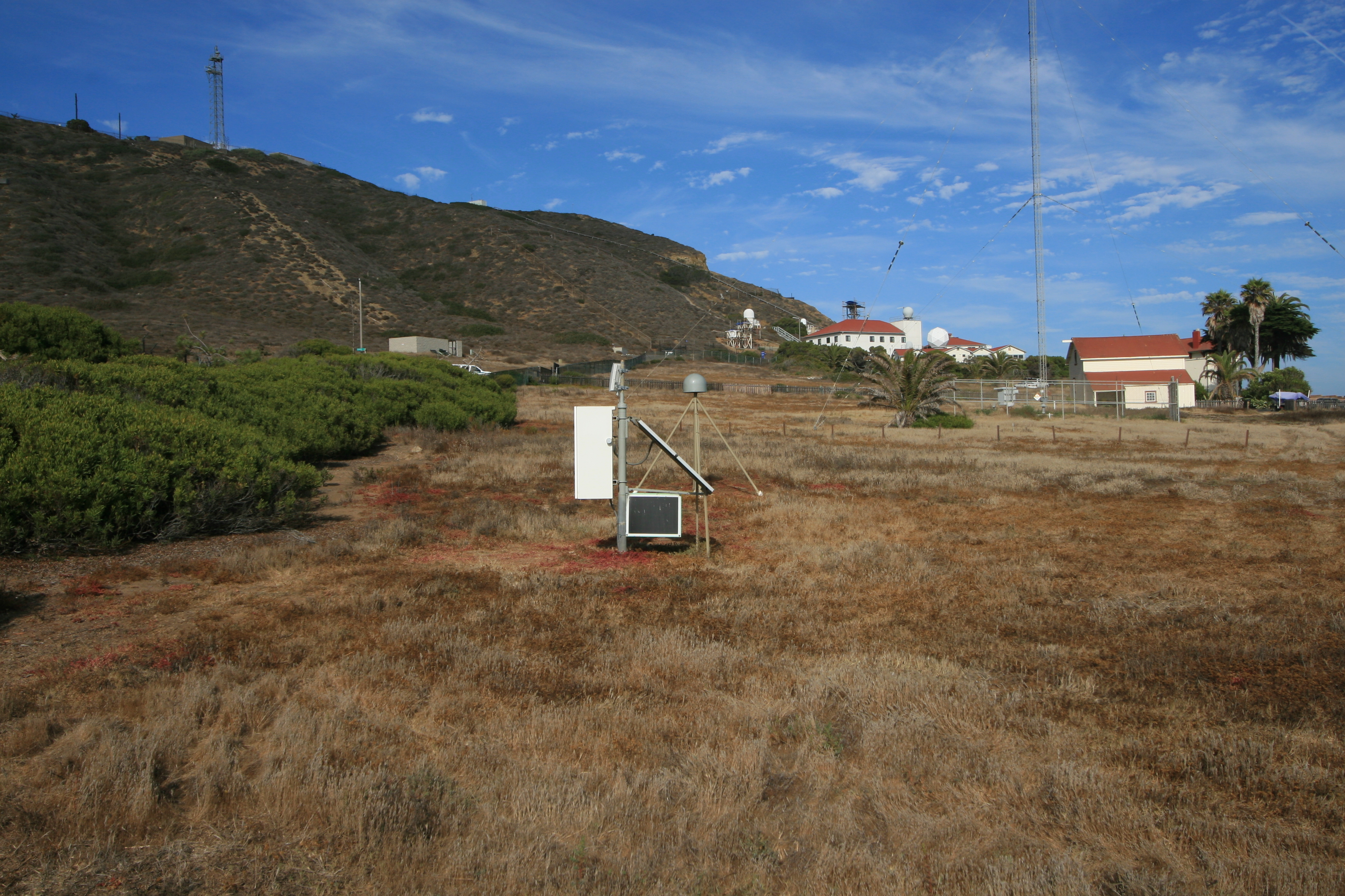
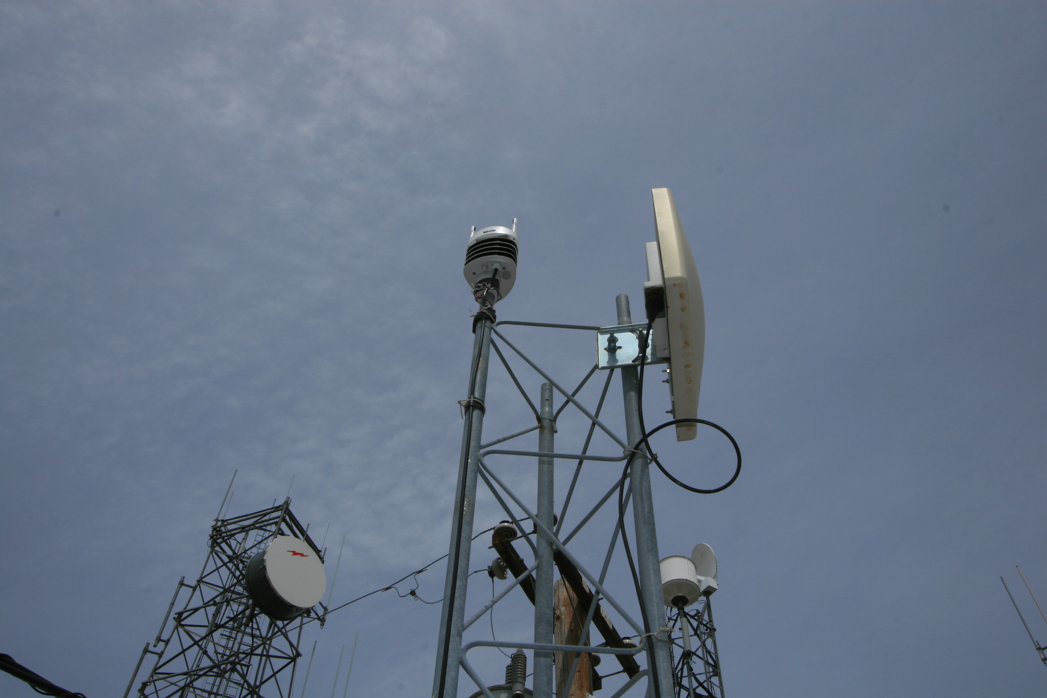
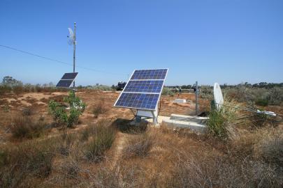
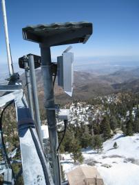
 New met sensor at an HPWREN backbone site. Data is available at /Sensors/
Image of April 25, 2009:
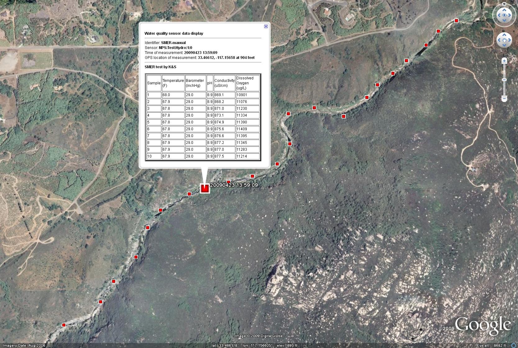
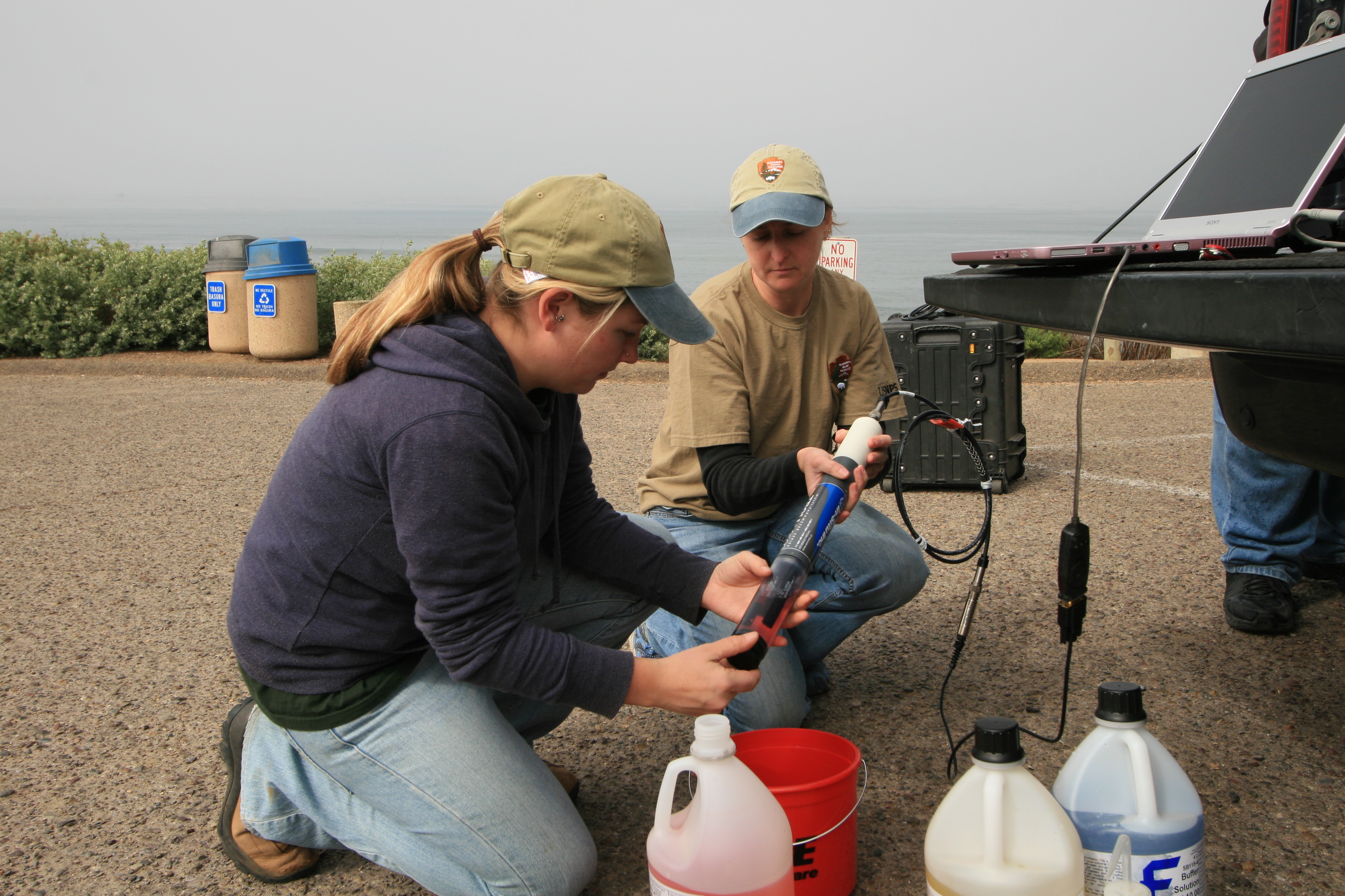
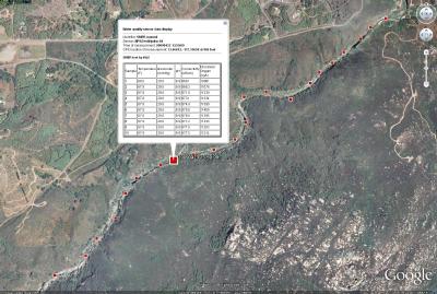 Several geo-referenced water quality samples from the Santa Margarita
Ecological Reserve river taken on April 23 by two NPS/SDSU interns
via the system described in
/news/20090324/. A KML object of the data
can be found at
/images/20090425.kml.
Several geo-referenced water quality samples from the Santa Margarita
Ecological Reserve river taken on April 23 by two NPS/SDSU interns
via the system described in
/news/20090324/. A KML object of the data
can be found at
/images/20090425.kml.
Image of April 18, 2009:
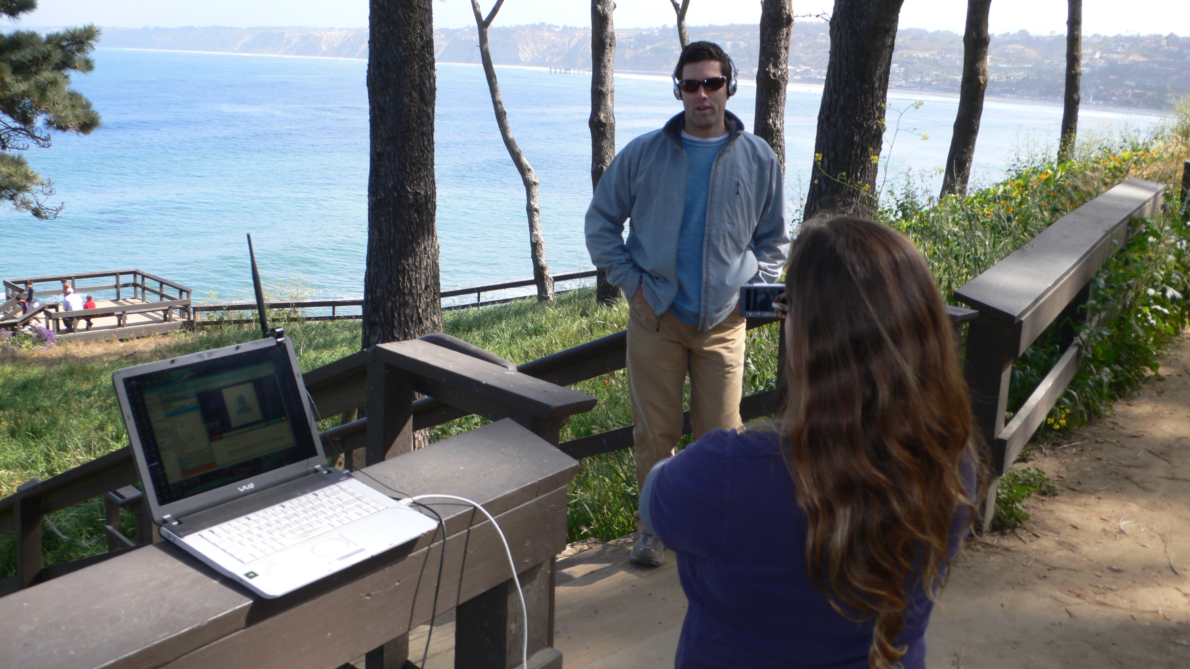
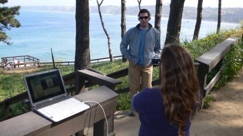 Scripps Instutution of Oceanography staff are evaluating wireless
network connectivity between the SIO pier and La Jolla for potential
LIVE distance education sessions from a boat in the kelp forest.
Scripps Instutution of Oceanography staff are evaluating wireless
network connectivity between the SIO pier and La Jolla for potential
LIVE distance education sessions from a boat in the kelp forest.
Photo by Jim Hale
Image of April 11, 2009:
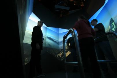 UCSD Calit2 researchers are
showing their StarCAVE
surround-view adaptation of HPWREN's 2007 Harris Fire images to members
of the HPWREN team. This graphically demonstrated the 360 degree
view from Lyons Peak as the fire evolved and the mountain burned
over.
UCSD Calit2 researchers are
showing their StarCAVE
surround-view adaptation of HPWREN's 2007 Harris Fire images to members
of the HPWREN team. This graphically demonstrated the 360 degree
view from Lyons Peak as the fire evolved and the mountain burned
over.
Image of April 4, 2009:
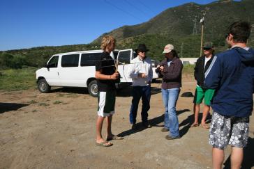
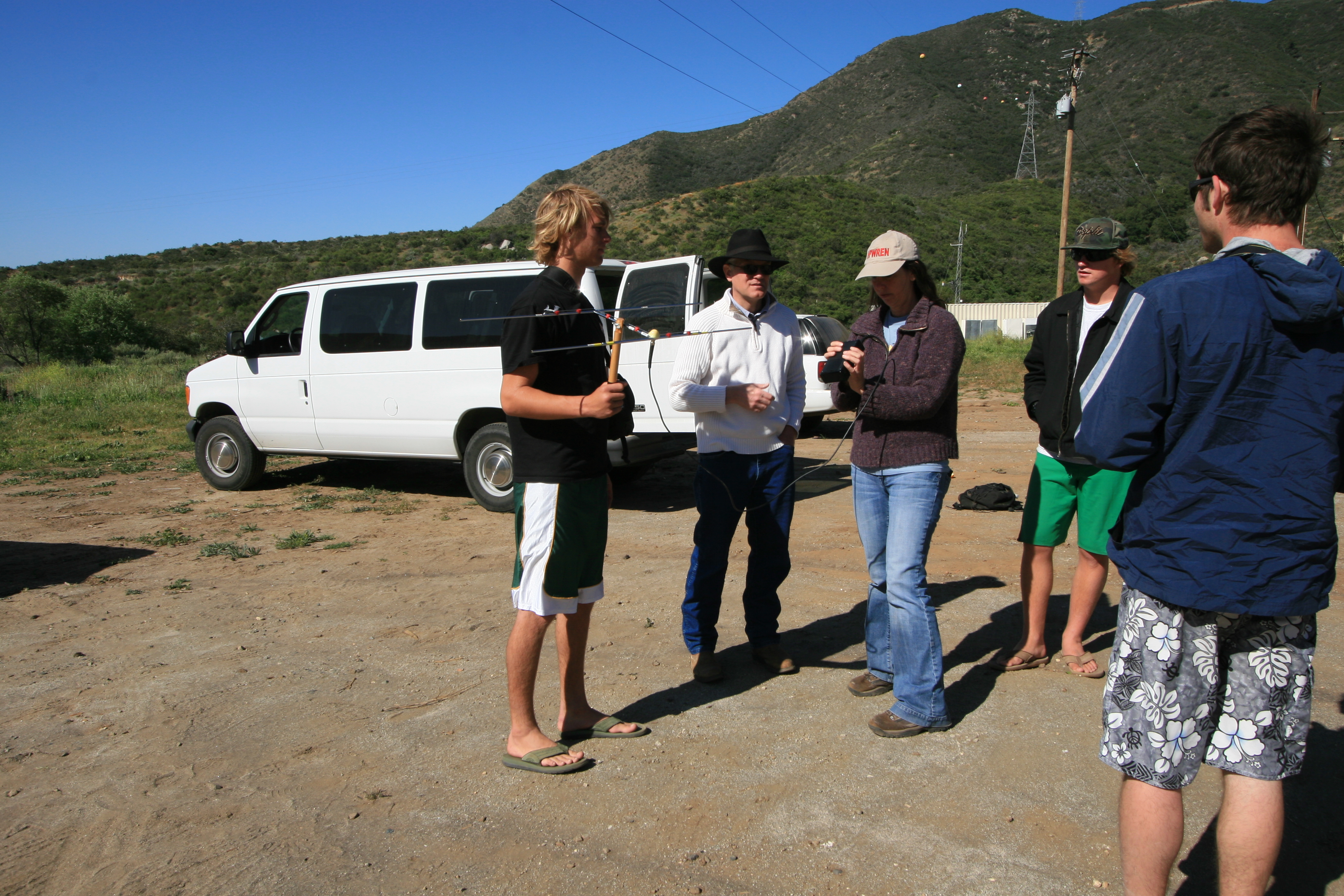
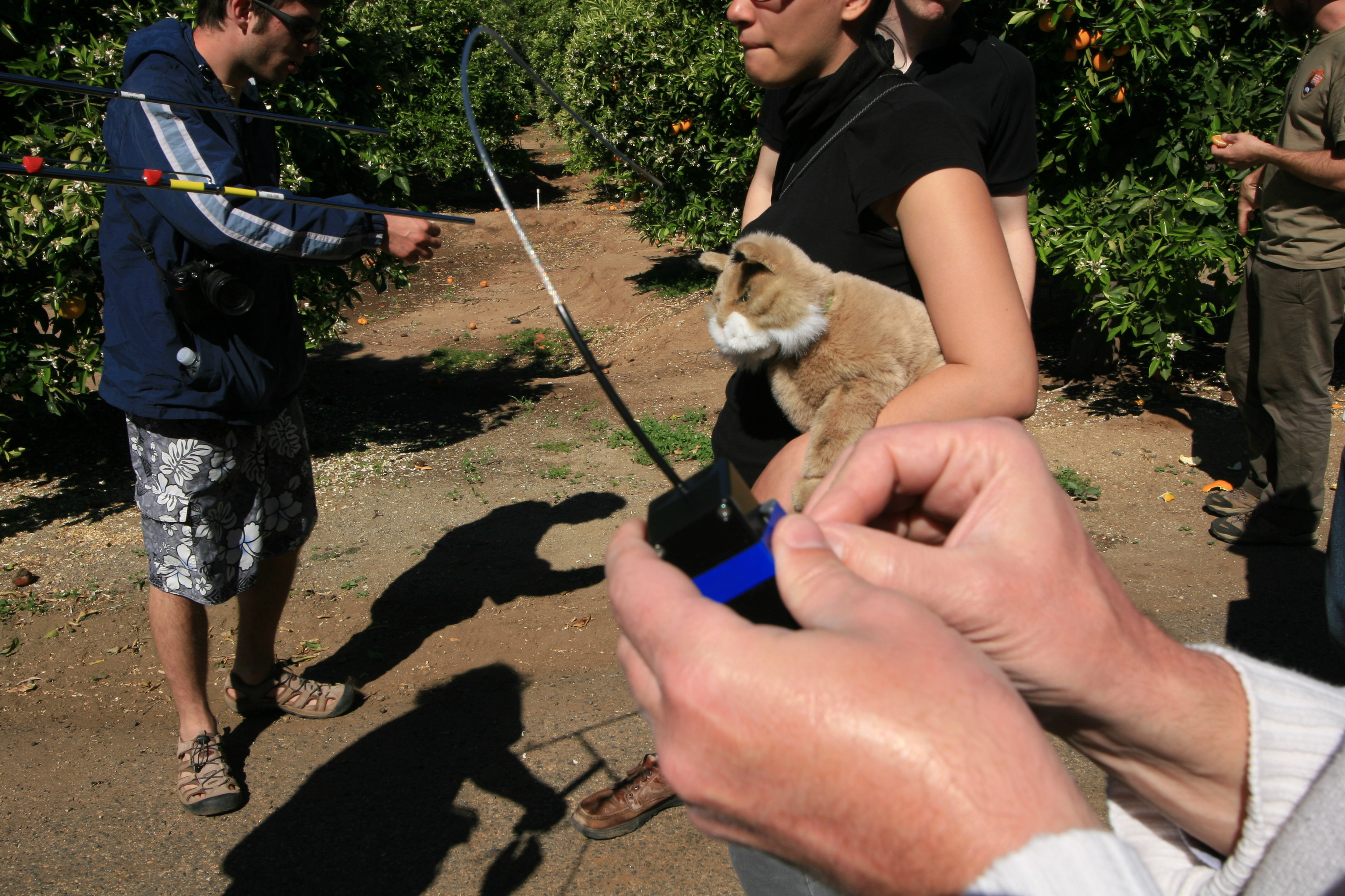
Susan Teel and her team of interns are practicing radio-based Puma
tracking at the Santa Margarita Ecological Reserve.
Image of March 28, 2009:
 The San Diego Supercomputer Center hosts the main HPWREN server and
provides for HPWREN's Internet connection. The photo shows the
equipment in its new location after the move on March 26 within the
SDSC machine room.
The San Diego Supercomputer Center hosts the main HPWREN server and
provides for HPWREN's Internet connection. The photo shows the
equipment in its new location after the move on March 26 within the
SDSC machine room.
Image of March 21, 2009:
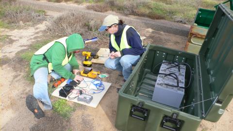
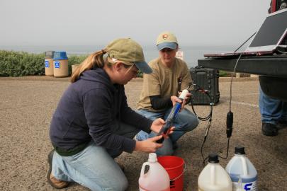 NPS/SDSU interns Sarina Cassaro and Kelly Lion, while calibrating a
water quality sensor near the tidepools at the Cabrillo National
Monument.
NPS/SDSU interns Sarina Cassaro and Kelly Lion, while calibrating a
water quality sensor near the tidepools at the Cabrillo National
Monument.
Image of March 14, 2009:
 Toro Peak tower views from a recent repair trip by Glen Offield of
UCSD/SIO.
Toro Peak tower views from a recent repair trip by Glen Offield of
UCSD/SIO.
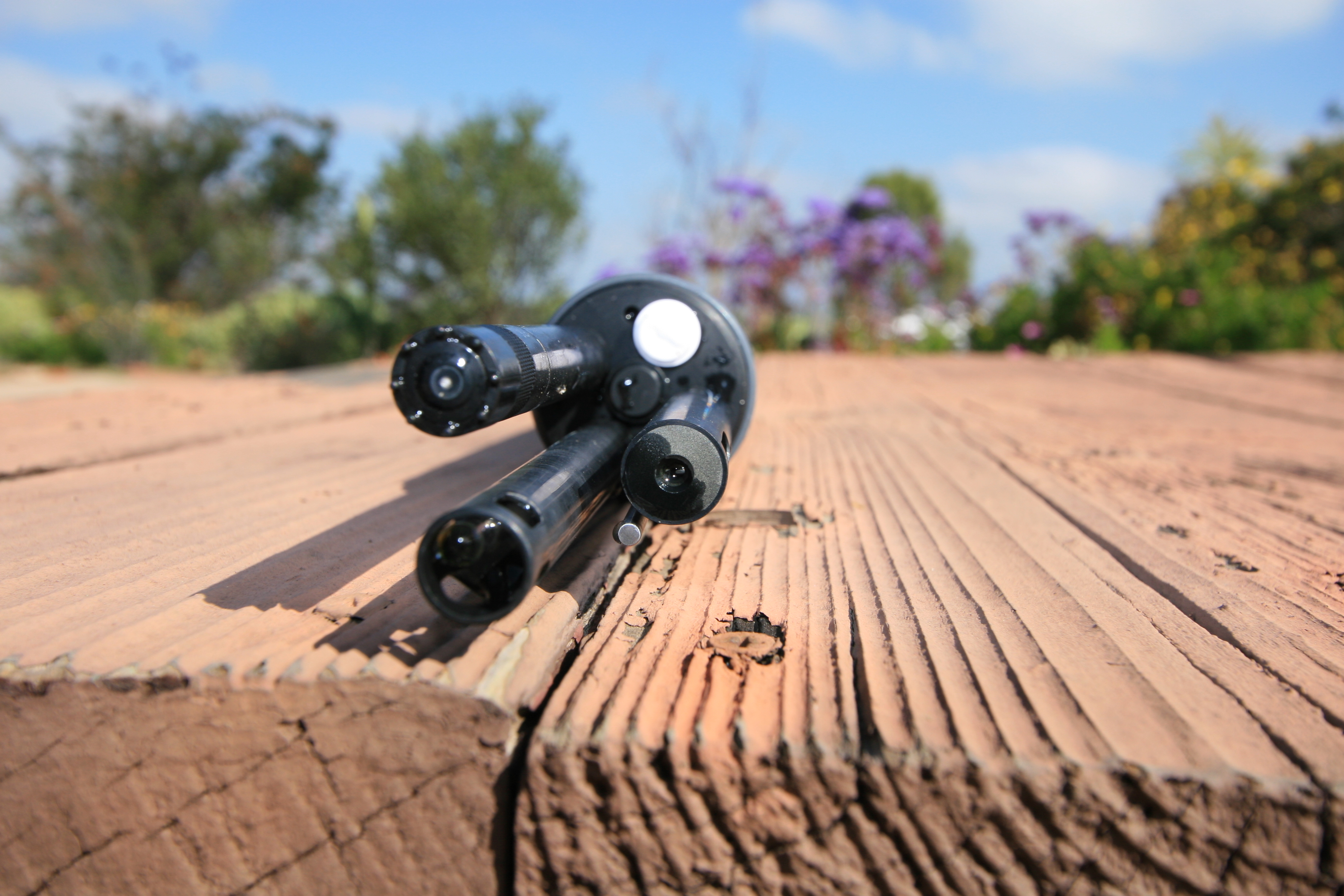
Image of March 7, 2009:
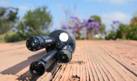 Multi-parameter water quality probe
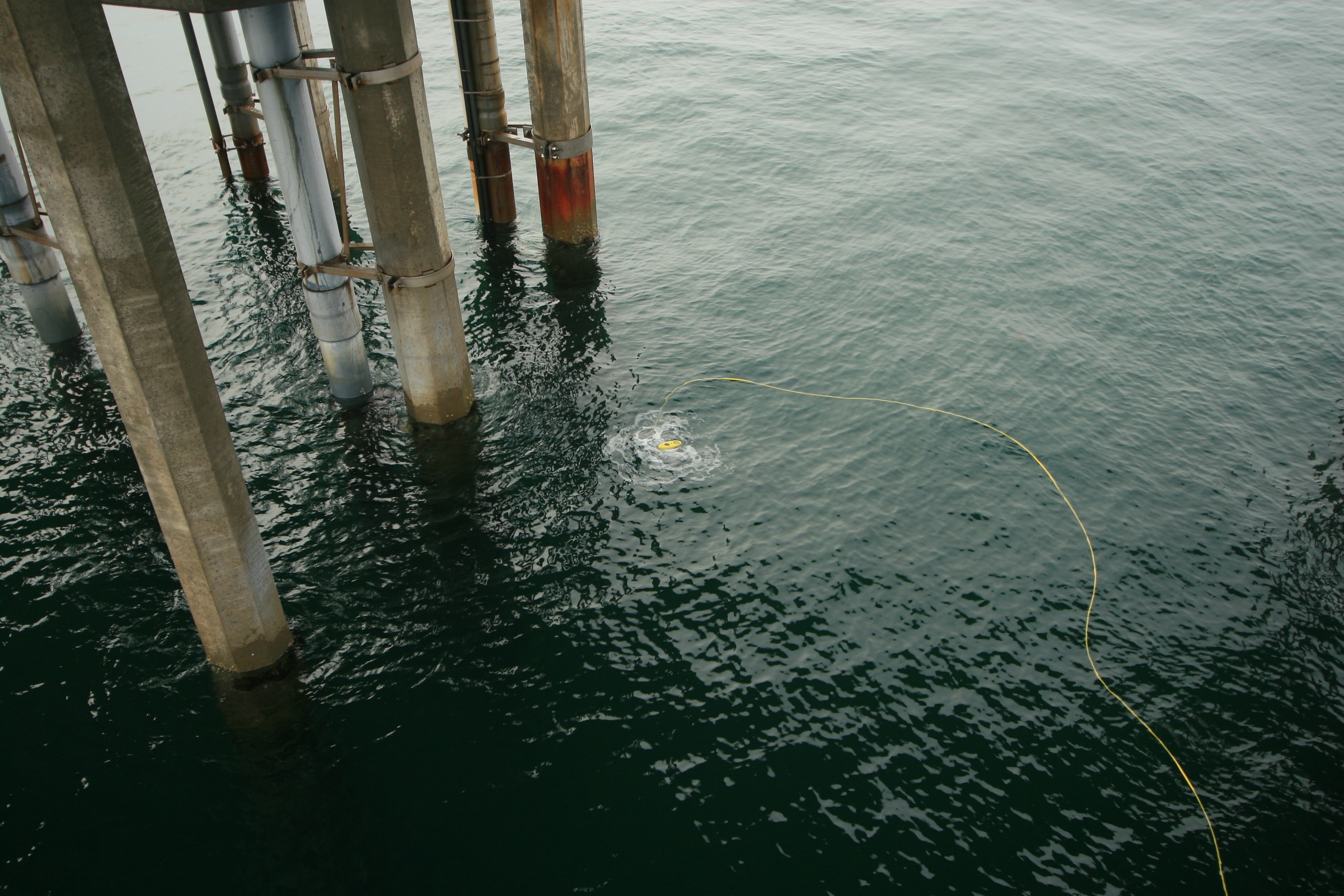
Image of February 28, 2009:
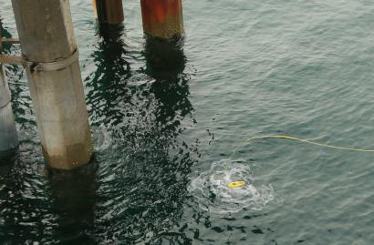 Small ROV in the water underneath Scripps Pier, during a LIVE
exercise with attendees of the Scripps Institution of Oceanography.
Small ROV in the water underneath Scripps Pier, during a LIVE
exercise with attendees of the Scripps Institution of Oceanography.
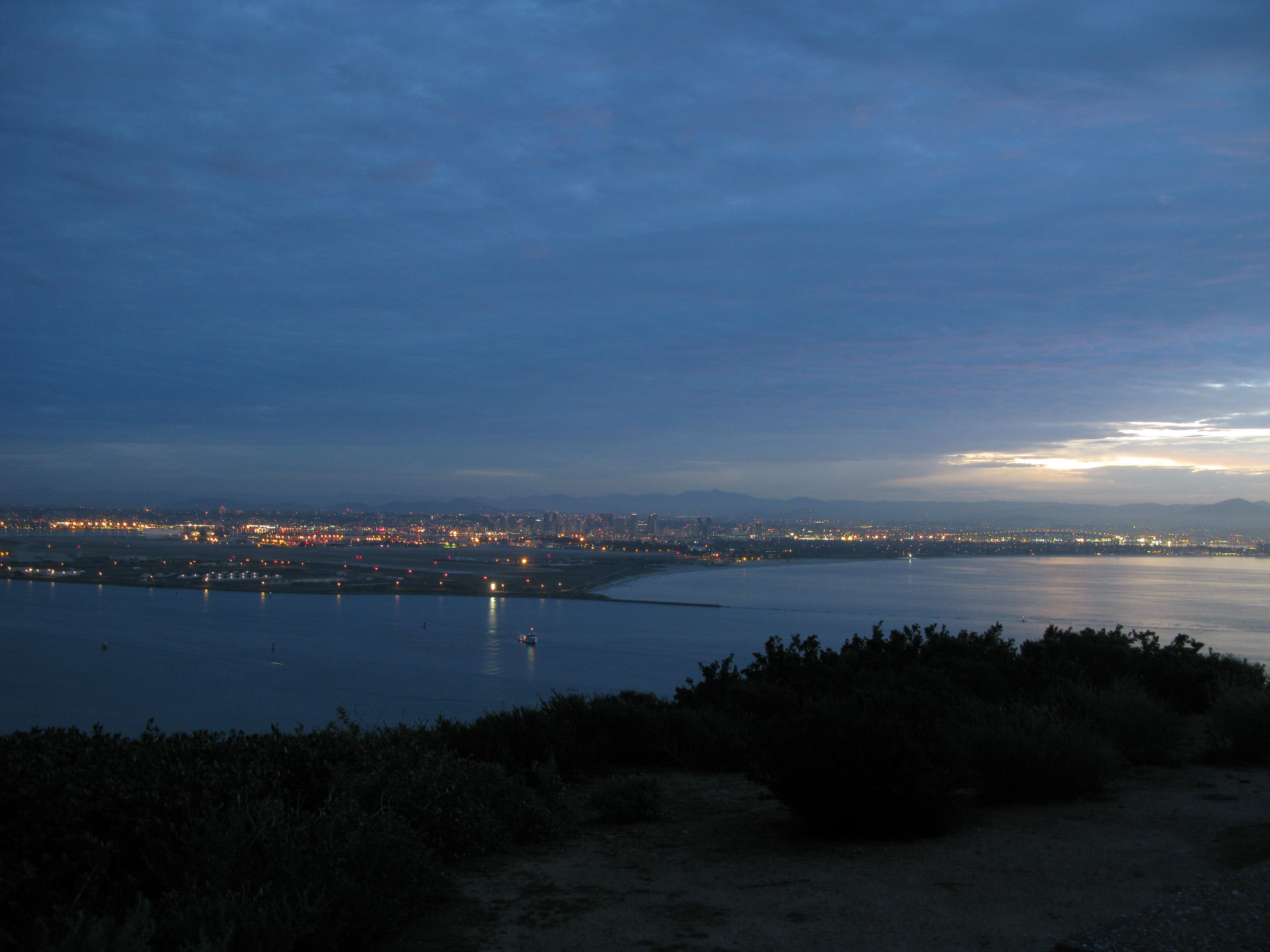
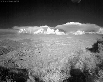
Image of February 22, 2009:
 Early morning view across San Diego and into the mountains, as see
by an automated 12 megapixel network camera from the NPS Cabrillo
National Monument
Early morning view across San Diego and into the mountains, as see
by an automated 12 megapixel network camera from the NPS Cabrillo
National Monument
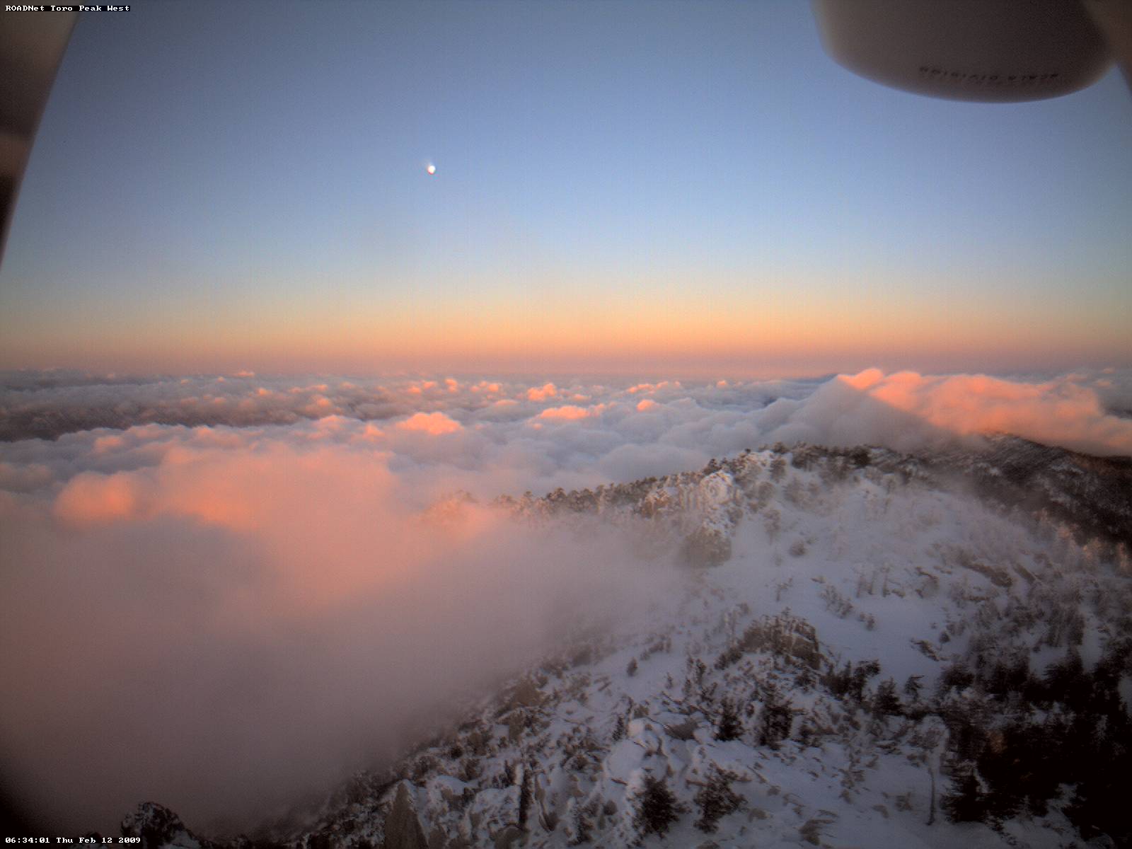
Image of February 14, 2009:
 More snow yet on Toro Peak.
Image of February 7, 2009:
 Winter is not over yet! New ice buildup in front of a network camera
on Toro Peak.
Winter is not over yet! New ice buildup in front of a network camera
on Toro Peak.
Image of January 31, 2009:
 NPS/SDSU interns Kelly Lion and Sarina Cassaro, working with Jim
Hale on replacing network/sensor equipment enclosures at Point Loma.
NPS/SDSU interns Kelly Lion and Sarina Cassaro, working with Jim
Hale on replacing network/sensor equipment enclosures at Point Loma.
Photo by Jim Hale.
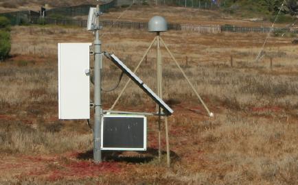
Image of January 24, 2009:
 Solar-powered Tribal Digital Village Network site, hosting a new
wireless link to the Pala Learning Center to boost network performance.
Solar-powered Tribal Digital Village Network site, hosting a new
wireless link to the Pala Learning Center to boost network performance.
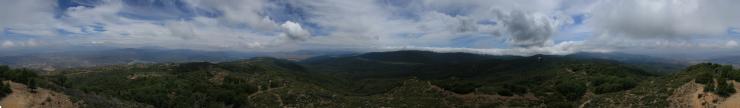
Image of January 17, 2009:
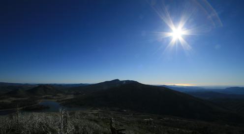 Panorama across the Cuyamaca Mountains, from the lake on the left to
the ocean on the right.
Panorama across the Cuyamaca Mountains, from the lake on the left to
the ocean on the right.
Image of January 10, 2009:
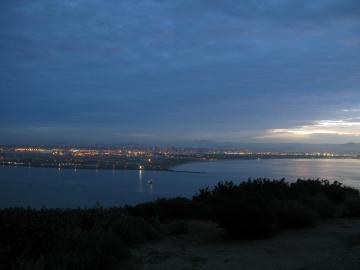
 Moon over Cuyamaca, as seen from an NPS network camera at Point Loma
Image of January 3, 2009:
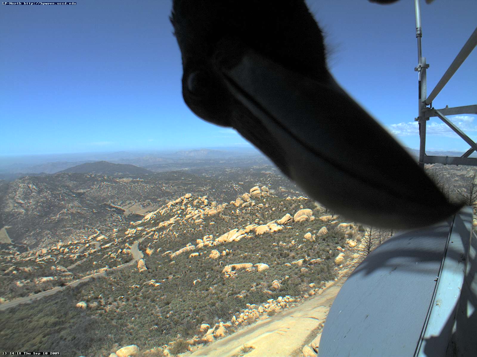
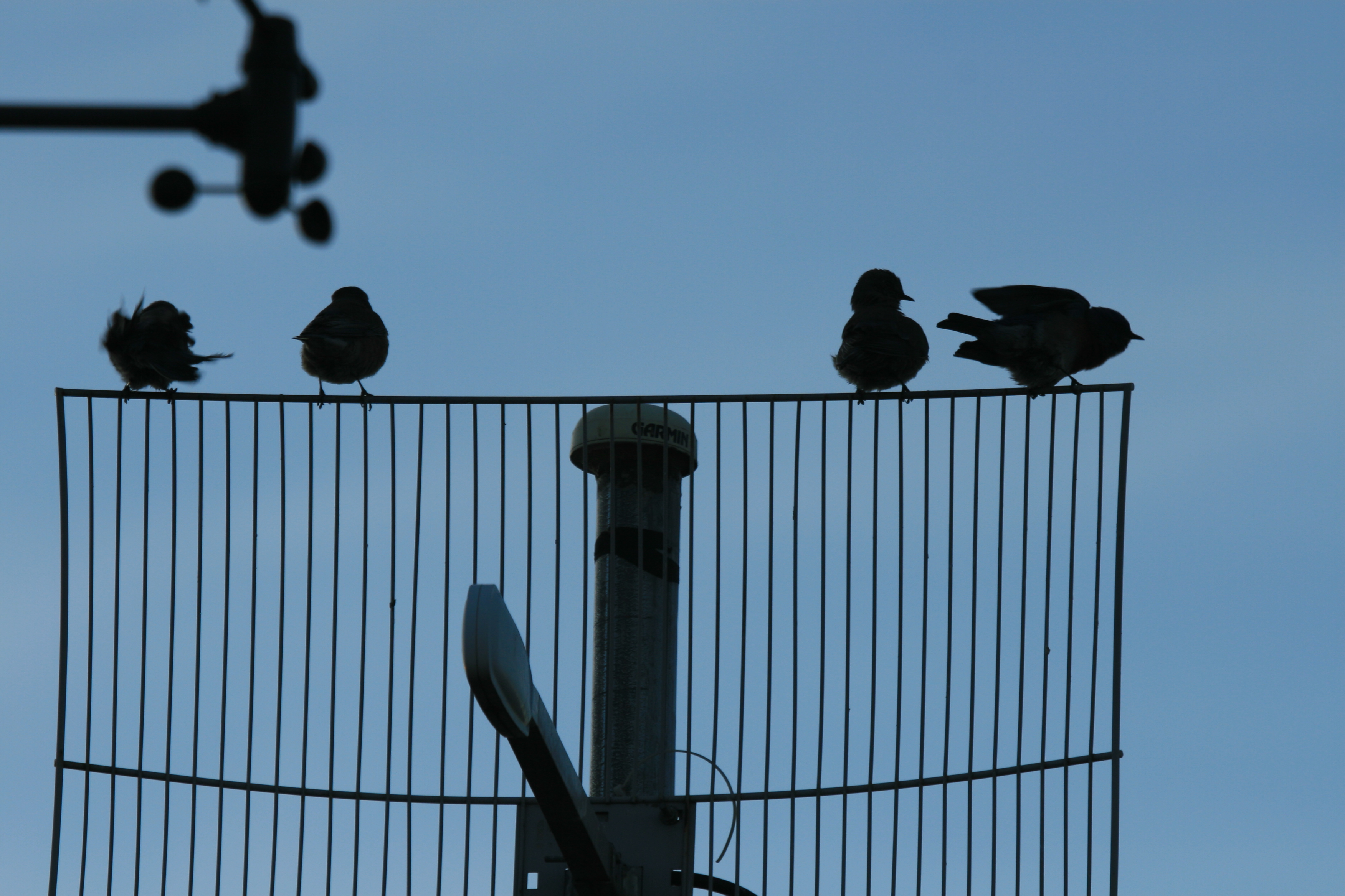
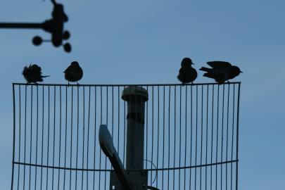 Birds on a wire: occupying an HPWREN antenna.
|